This is one of the last holdouts near Portland! After a successful first activation by AF7MD on W7O/NC-082, and the previous activation last year of W7O/NC-085 by WJ7WJ, I thought it was high time to bag this one before anyone else got to it!
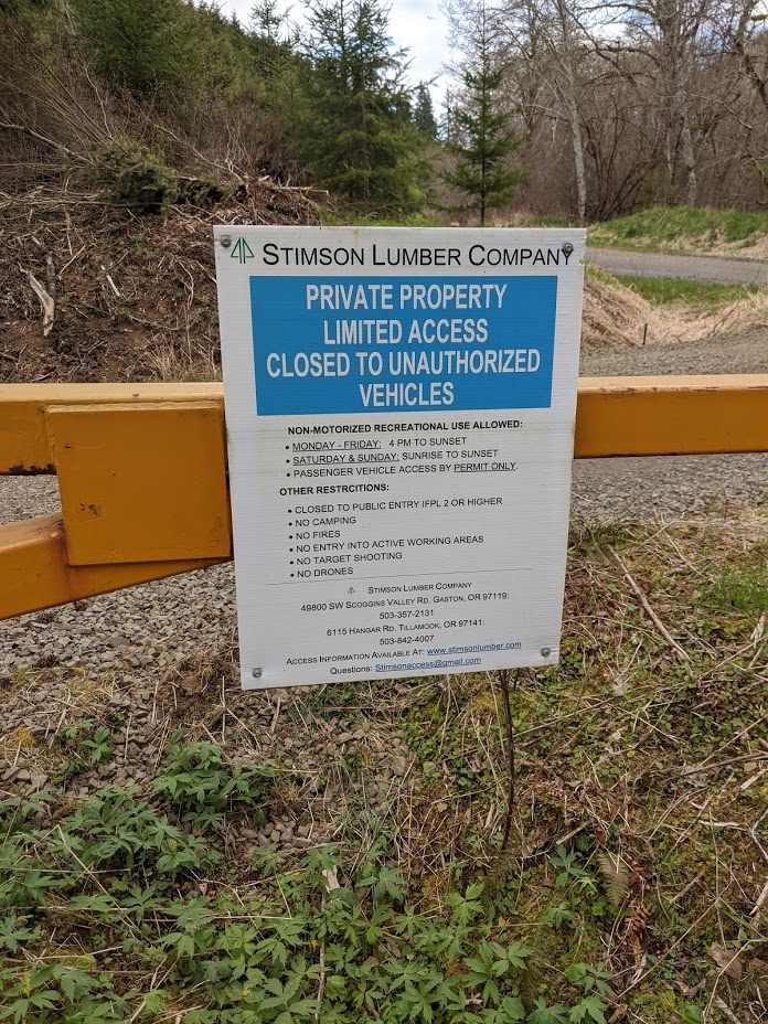
Just across the road from one of my first activations, NC-072, this peak is doubly difficult to determine access to - it is on private land, owned by Stimson, and Stimson allows road use along Rock Creek Mainline Road, but they don't control the gate access - Weyerhaeuser does. So I checked out the gate just to see, after an activation in the area some weeks earlier, and found that it tends to be opened for hunting season ... in September.
If you want to do this in September, you can probably drive in on the easiest of gravel roads and park in any of the big open spots along this road, but if you want to do it earlier, follow this suggested route, which could probably be managed by a passenger car but would be aided substantially by 4WD:
Drive to North Fork Wolf Creek Road on US 26, at 45.7806, -123.3454. This is a well-graded but occasionally steep gravel road. Continue on the main road to 45.7922, -123.3851, and take the left fork, which should appear like following on the obvious main road. At the fork at 45.8026, -123.3937, the road will split into two relatively evenly maintained roads, and you take the right fork, which ascends substantially. You follow this road past a number of much-less-inviting spurs, going left, left, left, and then passing a road departing at a right angle until you get to the turnoff at 45.8146, -123.3816, where you will turn down a nice enough but narrower dirt road. Follow this down to join another dirt road and continue heading west, until you reach a dead end at the Clatsop Forest/Stimson Lumber land boundary, at 45.8198, -123.4127. Here, your hike begins.
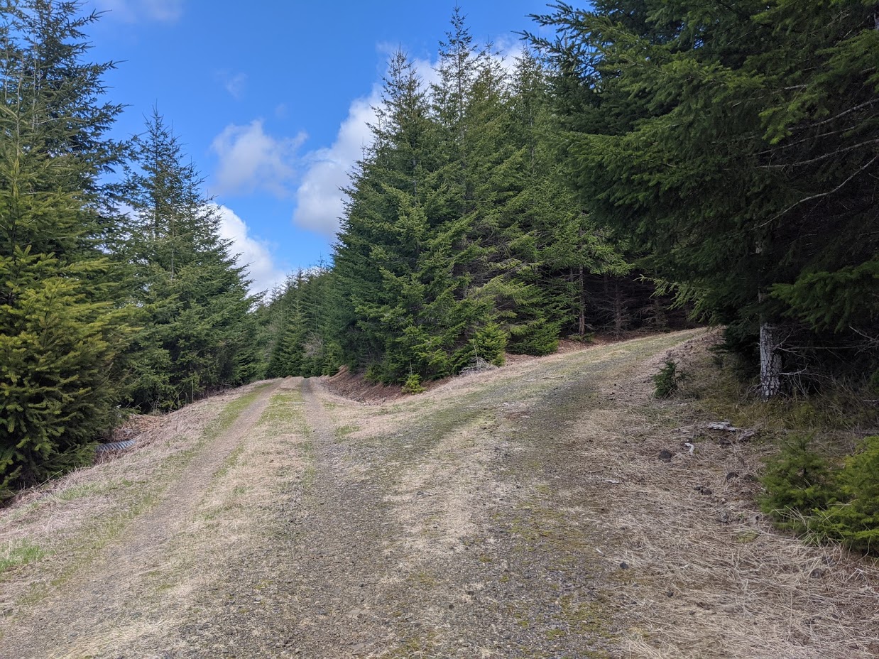
A well-traveled path leads through the overgrown branches on the leveled but overgrown extension of this road. It turns sharply and climbs an embankment to avoid the slash pile Stimson no doubt placed to discourage vehicular traffic on this road, and then returns to the road bed to lead down into the valley. Follow the road bed, until it forks. I recommend the left fork, which leads to the river; you will see the Mainline Road bridge across the creek here, and diverge right to meet the main road.
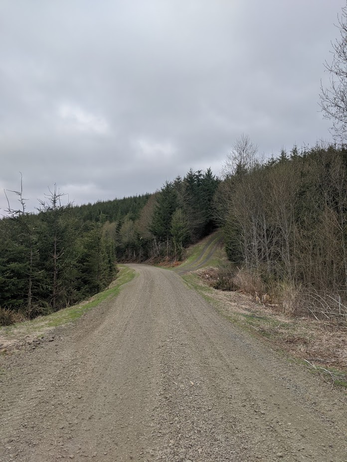
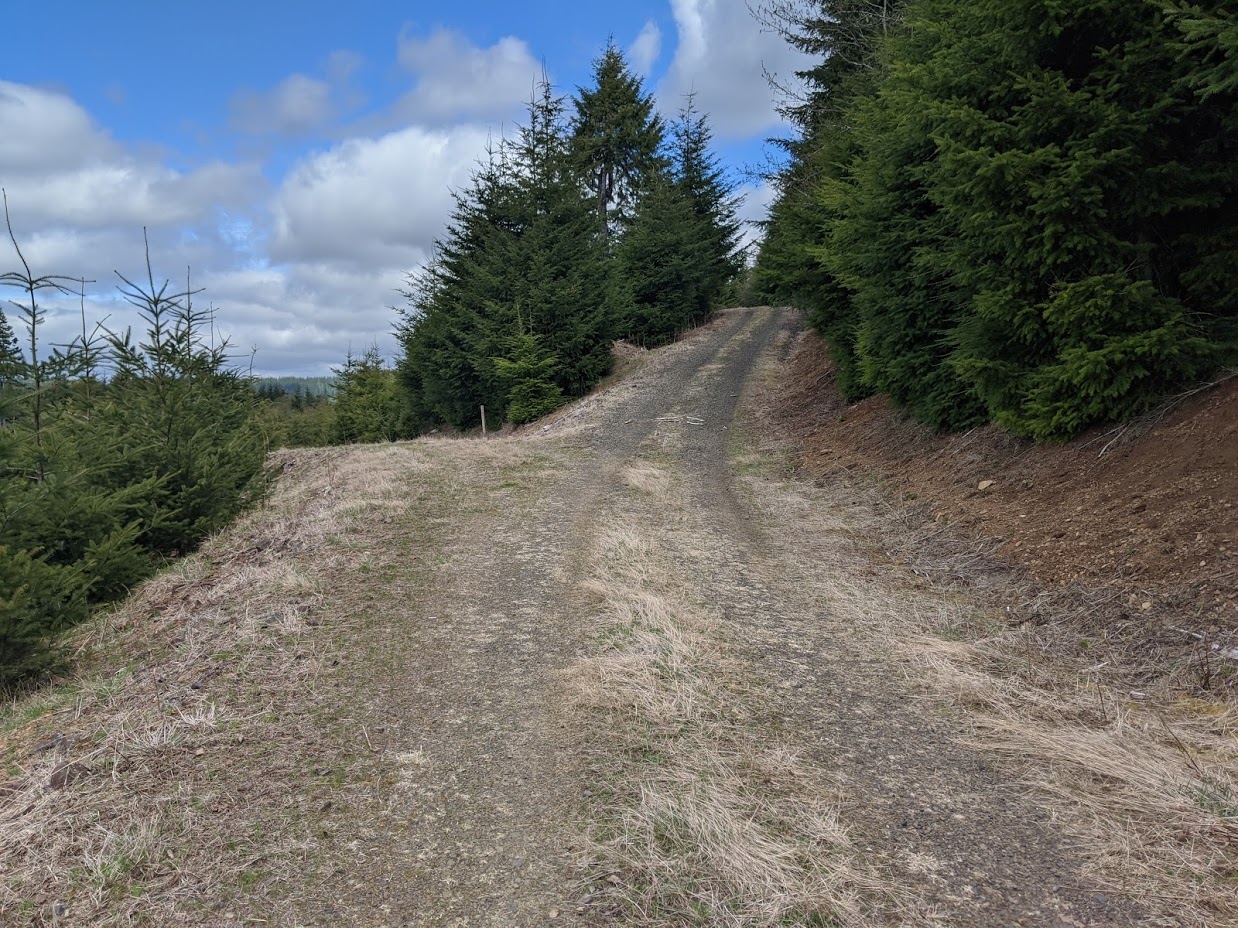
From here it is easy - walk across the bridge, turn right soon after, and then take the left branch of this road, marked on CalTopo as Green Mountain Road, most of the way up this mountain. You will see spurs to the left, and some spurs lead backwards to the right, but the first spur that climbs substantially up the mountain to the right will be at 45.8385, -123.4458, after two miles traveling along this main gravel road, and you should follow it. Up to this point the road is very shallow grade gravel, a major gravel road, and after this turn it is a well-maintained minor gravel road. You could drive up it in almost any vehicle, if you had permission; for our purposes, it is just a lovely hike.
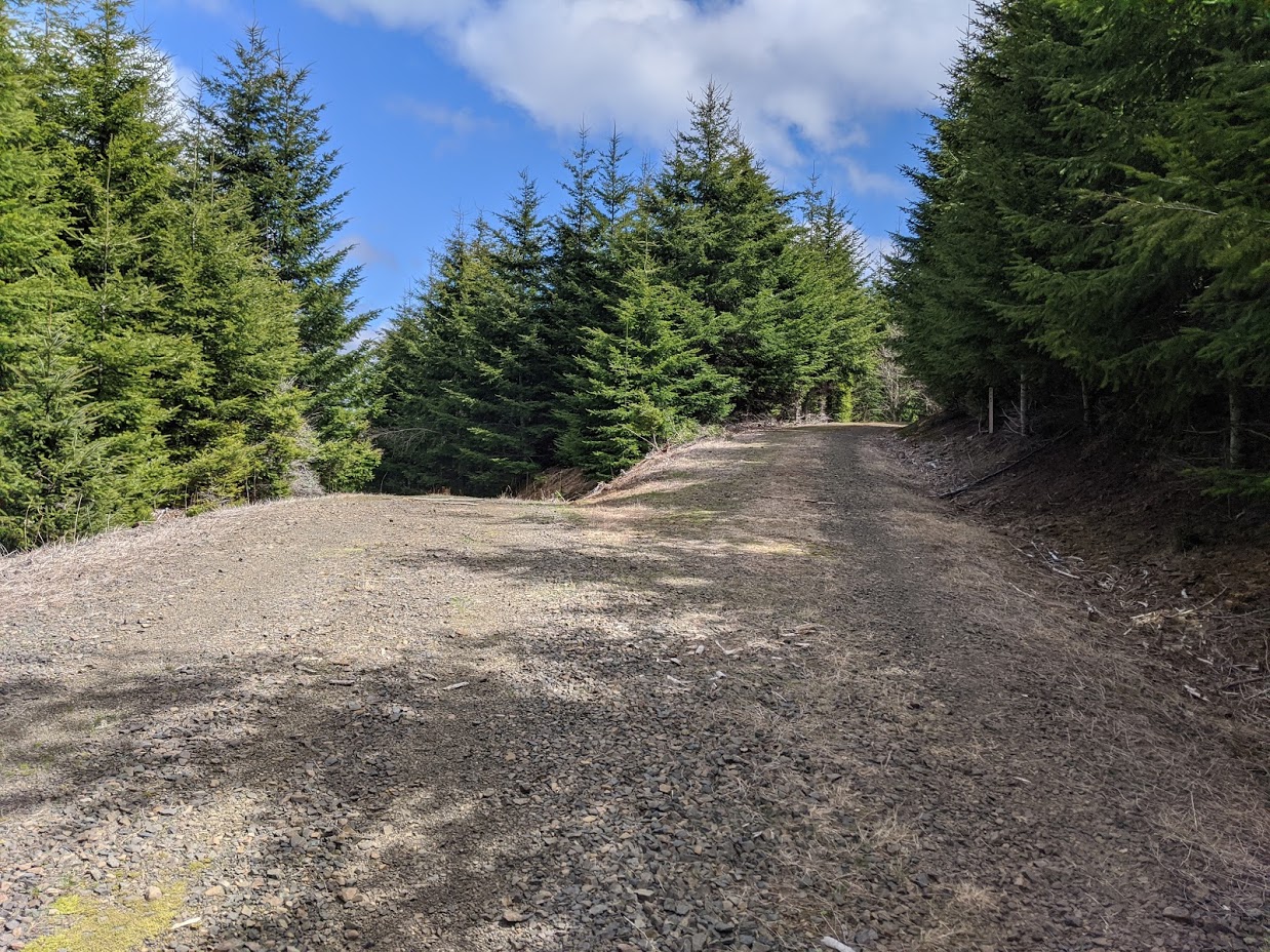
There is a road off to the right after about .3 miles, going up at a substantial rate, but this one does not approach the summit. Go straight, and then keep right at the next two junctions at about .5 and .8 miles, for a total of about 1.2 miles on this minor road. In fact, this route should also always feel like taking the main road at every junction.
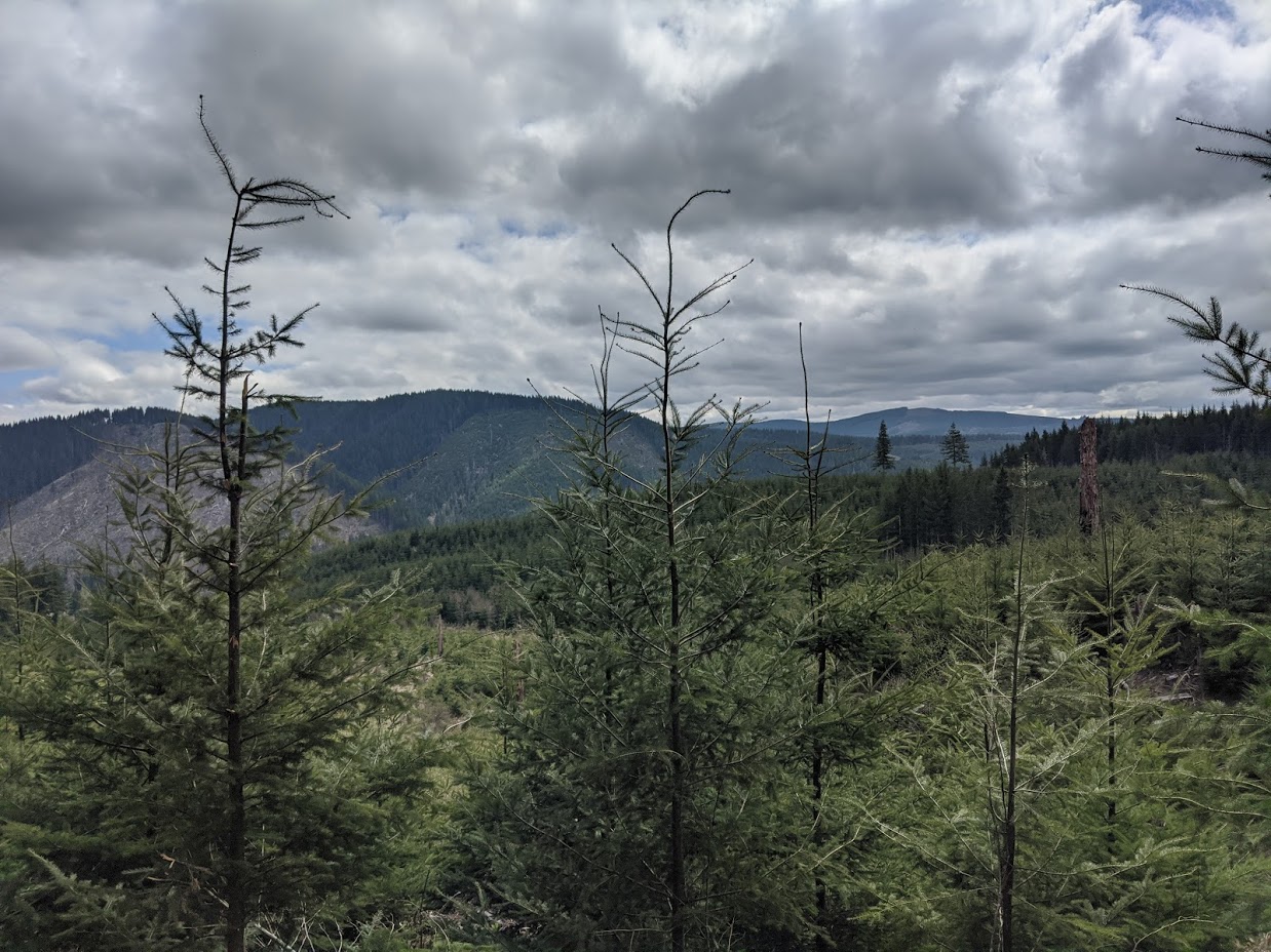
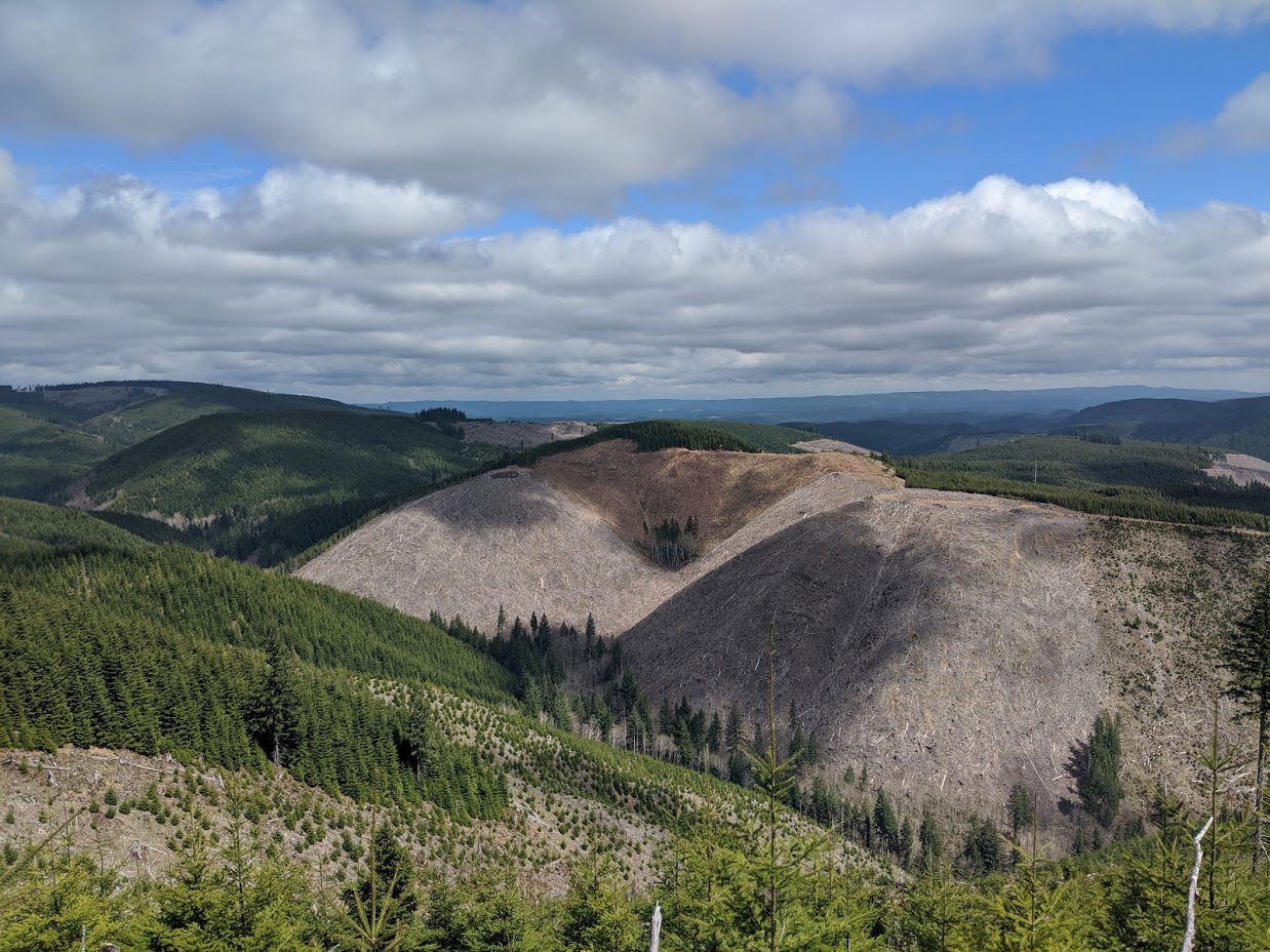
I activated at a spur in the AZ, at 45.8368, -123.4367. There is an obvious level spot, a turn-around for logging trucks, but a nice clearing with plenty of space and plenty of trees if you need them. There is a spectacular view to the north, with peaks like NC-082 and NC-085 clearly visible. I didn't know exact bearings and I Was pretty sure I knew which peaks were those. On the way down, on the other side of the trees, NC-090 and NC-072 are plainly visible, among probable others. I even saw a herd of elk from my activation spot, and a lone deer on my way down!