Adrian, Patrick and I headed up for some backpacking/activating on Friday. We drove to South Breitenbush Trailhead with the intent of camping 2 miles in then attempting a first activation of Dinah-Mo Peak and heading back down the next day. Well, with what I thought was an hour of slack time, we encountered first some downed trees on NF46 (Clackamas River Hwy - Breitenbush River Road) and then were stopped by downed trees a mile and a half from the trailhead. No big deal, we have a little time, right?
Well, be careful of preseason conditions - downed trees everywhere along the trail slowed us down considerably, possibly 15 extra minutes just to get to the actual trailhead, and then more logs as we headed up South Breitenbush Trail. The trail itself is lovely, and it's probably quite well maintained during the season, but in preseason you'll probably have similar issues. This persisted until we had climbed to about 4000 ft, and we camped at only 3900, at roughly 44.7405, -121.8669.
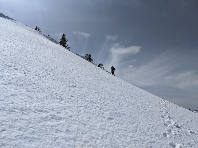
So far, so good. If you are hiking this in the summer, you might opt to take the Bear Point trail to the ridge, then follow the ridge off-trail, head down to the saddle, and climb the peak. However, in the snow, we figured following the main trail closer to the ridge, then proceeding overland on snow would help us, and it worked out well. We departed the trail at 44.7358, -121.8475 and proceeded upwards, following a minor creek basin for a hundred feet of gain or so, then making for a spot a little farther east than the visible saddle of the ridge above us. We made the ridge after about two and a half hours, only to find most of it lined with cornices and steeper than I was comfortable descending.
Fortune favored us, though, and we saw farther down the ridge a slope that looked quite a lot shallower, and viewing it from the top, it looked quite manageable to traverse, with essentially no cornice buildup and a very short run before the trees started - the top of the run is at 44.7400, -121.8357, and we glissaded straight down from there, then headed down and around a sort of secondary ridge protecting us from exposure to the rest of the more snow-laden ridge.
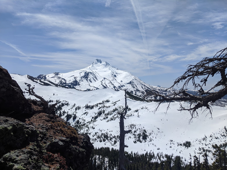
We trekked to the southern edge of the wedge-shaped prominence of Dinah-Mo, which shows up clearly on CalTopo's slope angle shading feature as the least steep way up - and I'm sure it is, but it's not easy. Even though after a very short approach we were almost entirely off snow, this is a twisted trek through trees and around snags, which on the west side is awkwardly steep and on the east side is all but a cliff. We just avoided being on the east side at all, and took whatever path we could see up the middle. We stopped about 60 vertical feet from the summit, in a sheltered group of rocks, because the remainder of the summit looked precarious, we were moving slower than we wanted, and the wind was pretty fierce, and I was able to manage summit-to-summit VHF FM contacts to South Saddle with my yagi, but nothing heard on any freq with a whip.
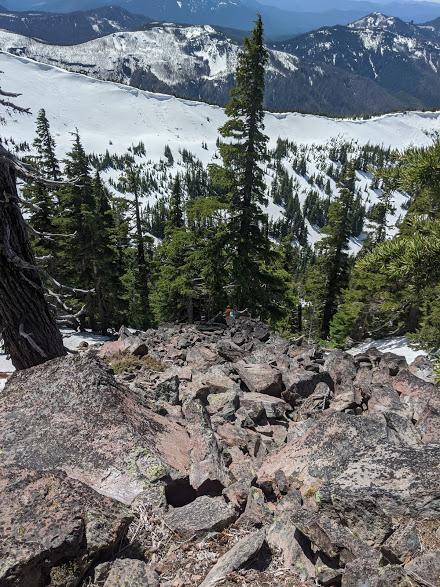
On the way down, we took the rocks, which can either be an entirely dry scramble or a badly exposed icy trip, but for us was almost entirely a dry path down the 500 foot block of Dinah-Mo. We encountered one small precarious section of ice we had to cross, and staying up in the trees and descending through them is a more pleasant way, but by far the safest way up in any sort of snow is the ridge, staying away from the right, unless you have tools.
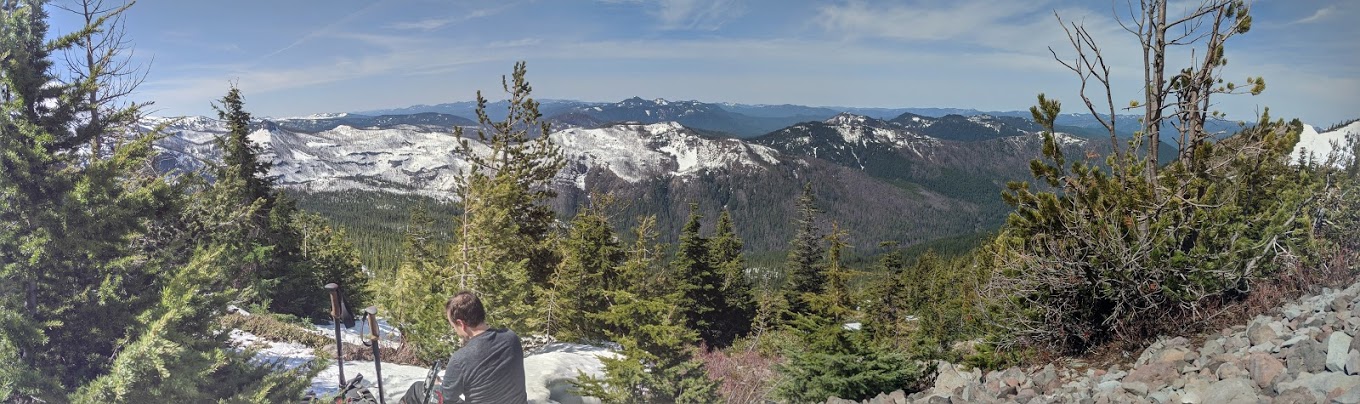
If you were to do this again at the beginning of May, I'd recommend microspikes and poles or an axe, and to take the ridge. If you were to do it in June, I'd recommend driving up to the lake as mentioned, and you can probably follow mostly dry ground to the summit prominence and then proceed up. In the snow this would be a tough one-day trip, but it's definitely doable. In the summer, this could be a 2000', 8-mile backcountry trip, although I make no claims as to how passable any other route is. However you choose to do this peak, it is a substantial off-trail trek in the backcountry and a GPS or strong orienteering skills are necessary just to make the summit.