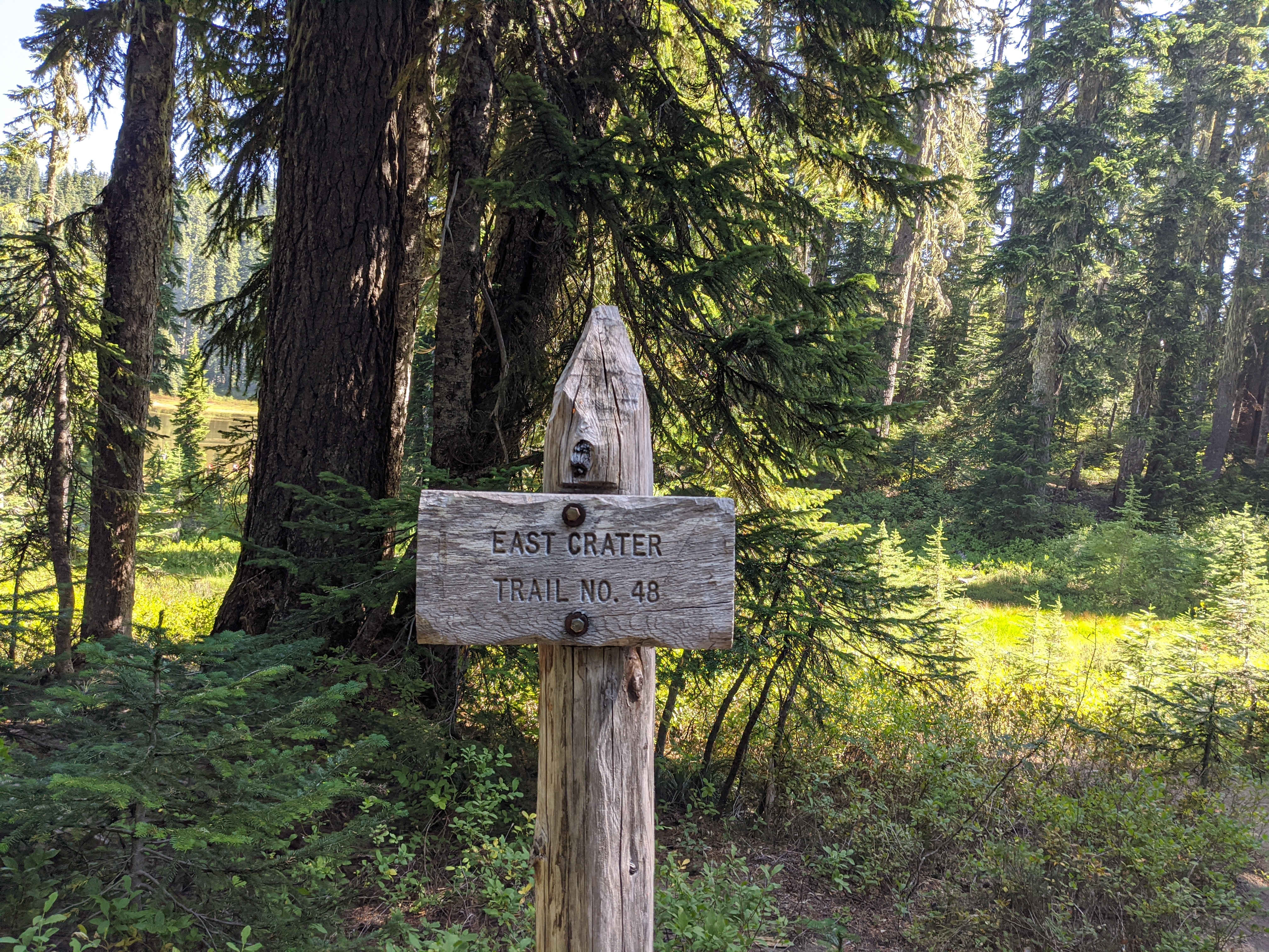
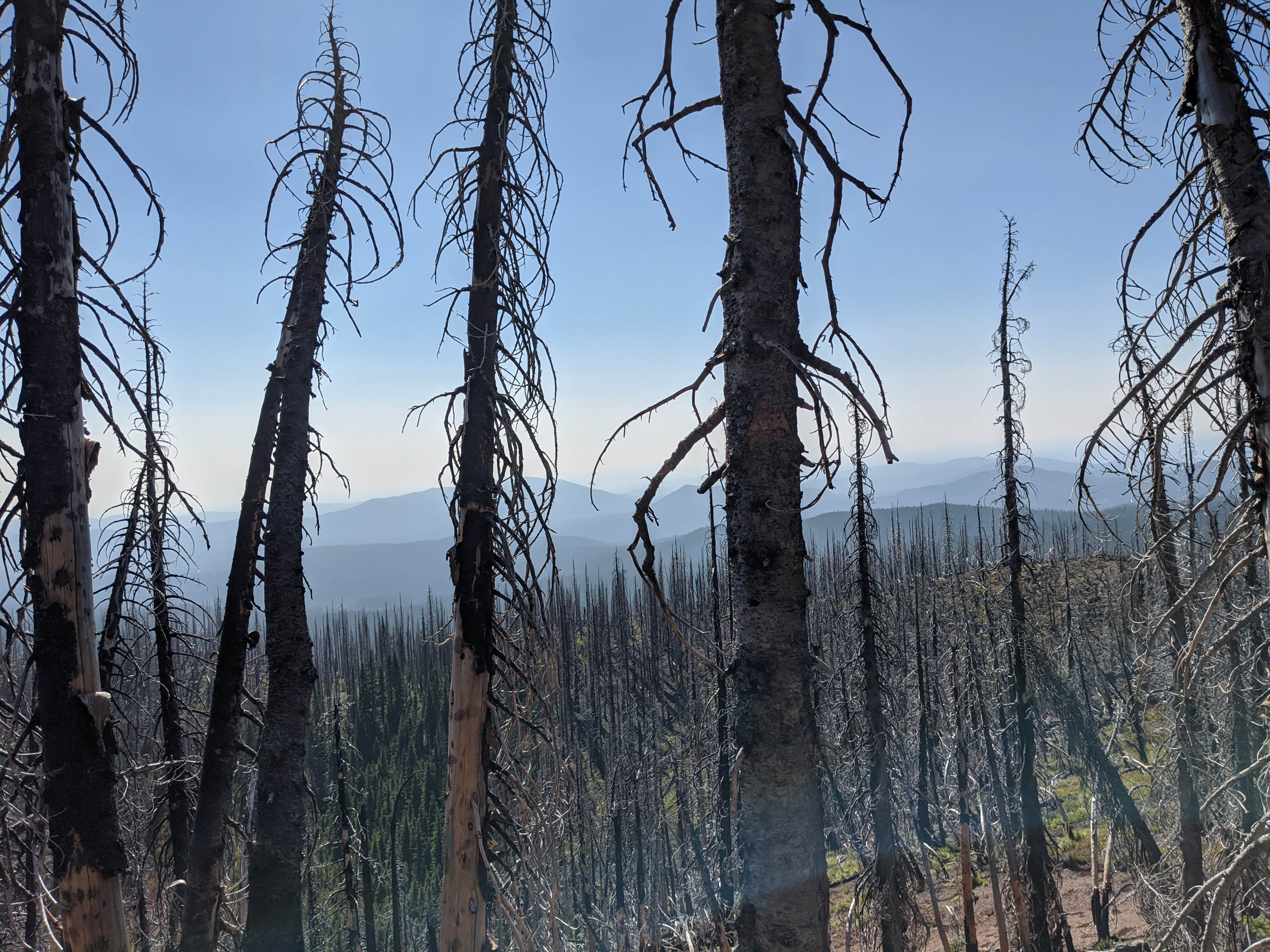
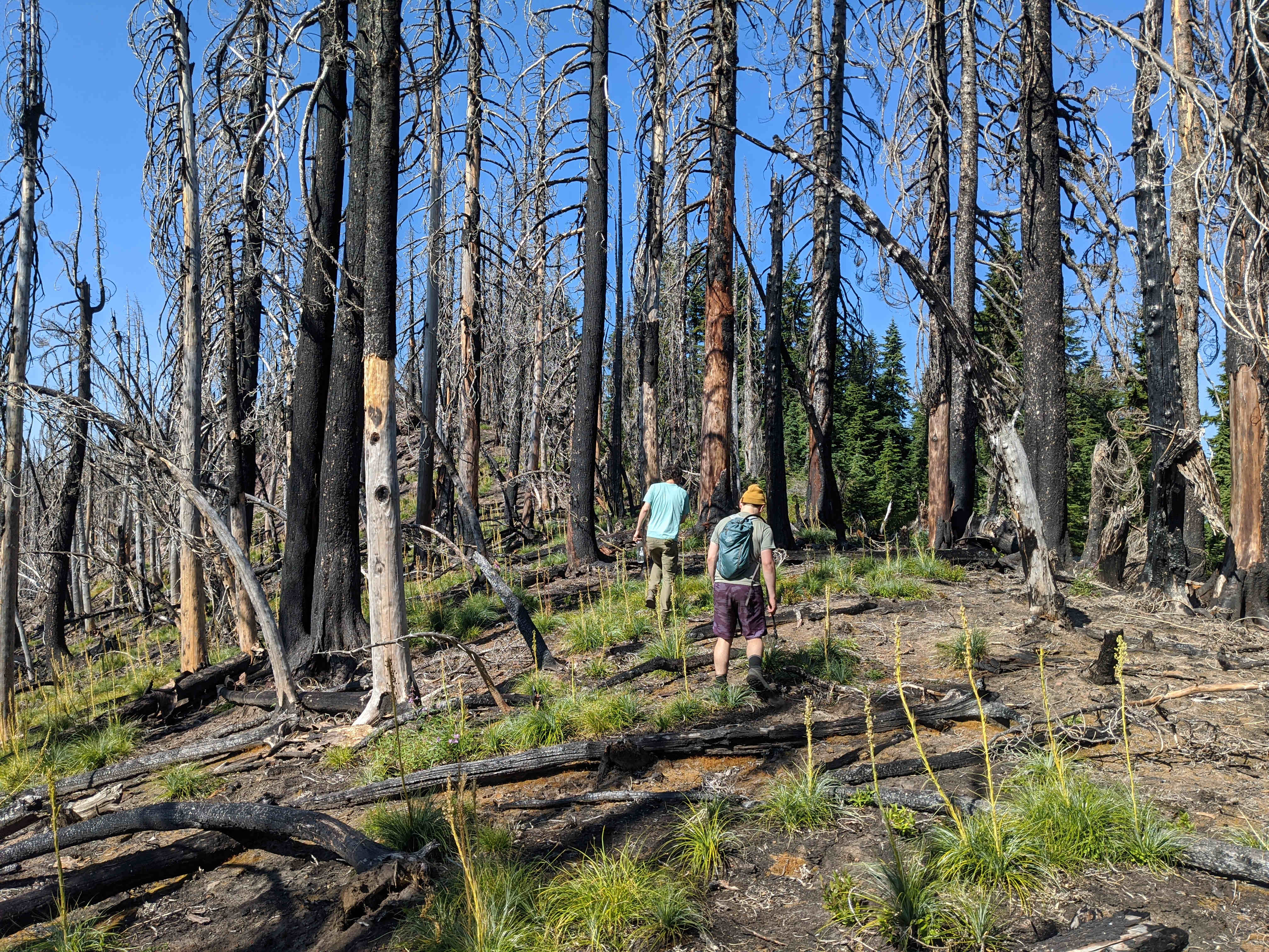
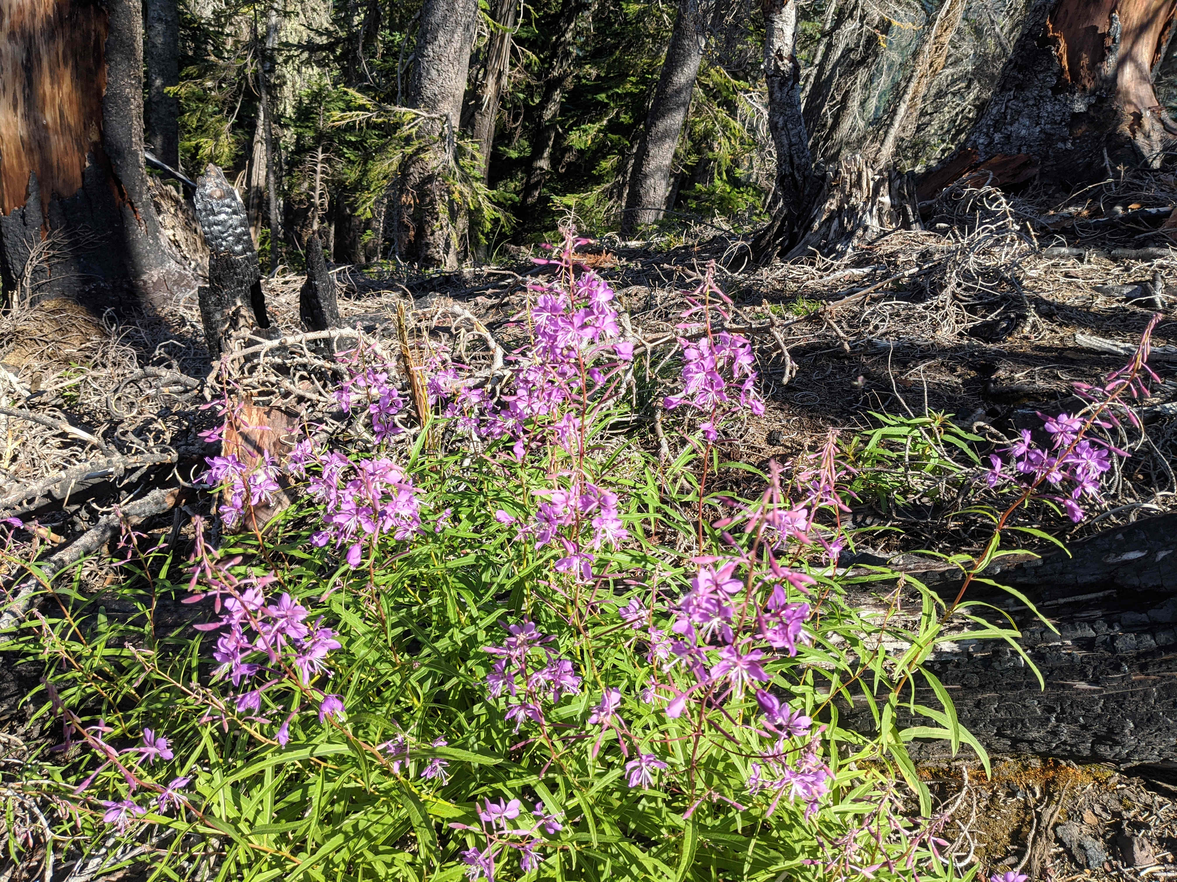
East Crater is a peak in the Indian Heaven wilderness. Three years ago, the south side and ridgeline of East Crater were completely burned by a fire that ended up burning about 500 acres in the area, and this fire caused the evacuation of the entire Indian Heaven wilderness area in September of 2017. Not much has grown back on the south side, while the north side, essentially untouched by the fire, is thick with trees. I did this activation in conjunction with Gifford Peak and Lemei Rock on a three-night backpacking trip, but this peak can easily be accessed from East Crater Trail with a trailhead a few miles to the east. We approached from the junction on the north side, where East Crater Trail meets the PCT, and headed west on the PCT for a few hundred feet. We left the trail at about 46.0029, -121.7893, and headed straight up (tending east). I don't have an exact track, but this route became thick with short trees about halfway up. It is still doable, but there are a few thick stands of young trees you need to push through. The entire ridge is in the AZ, between all the high points; the actual height variance is probably not much more than 40 feet, and this can be seen clearly if you head east along the ridge. The ridge rises to a bump at 45.9996, -121.7866 and then descends maybe 10-20' to another ridge that goes to the true summit - which is barely even taller than that bump. The west prominence is a reasonable activation spot, and the west side of the ridge has the best approach, as we found out on descent - we went from the western prominence of the ridge directly down to about 46.0016, -121.7938, and I recommend you follow the PCT around in a similar fashion before climbing. Right now, that approach is well-shaded but the ground is relatively clear of brush, and you will have a much easier (but still steep) hike up. The third approach you might consider is to come at it fully from the west, and this approach probably has the very best slope and lack of obstruction, but it ascends through the burnt forest and therefore does not protect you from the sun. I made 4 contacts on 2m FM, just managing the contacts with a broken Long Ranger. If you want a little more assurance of getting into Portland, take at least that much gain for VHF, and preferably a yagi; you have prominence, but also some obstructions in the way. You may also raise several hams in Stevenson and around.