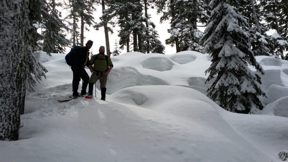
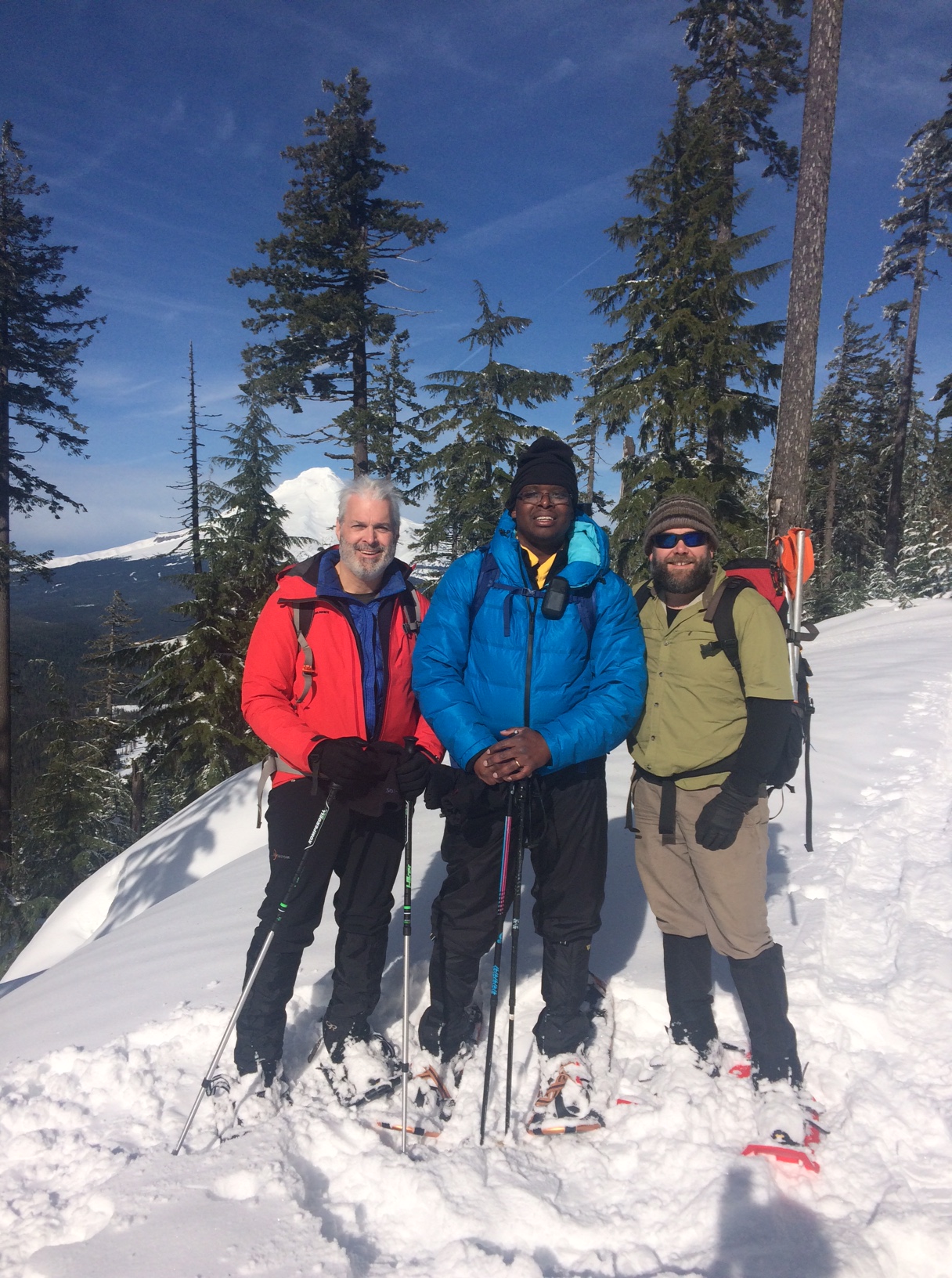
Peak 4620 (near Blue Box Pass) is a backcountry snowshoe activation that can be done in the winter if you don't mind using a GPS and are comfortable with off-trail navigation. It's about 1.7 miles one way and 700 feet gain.
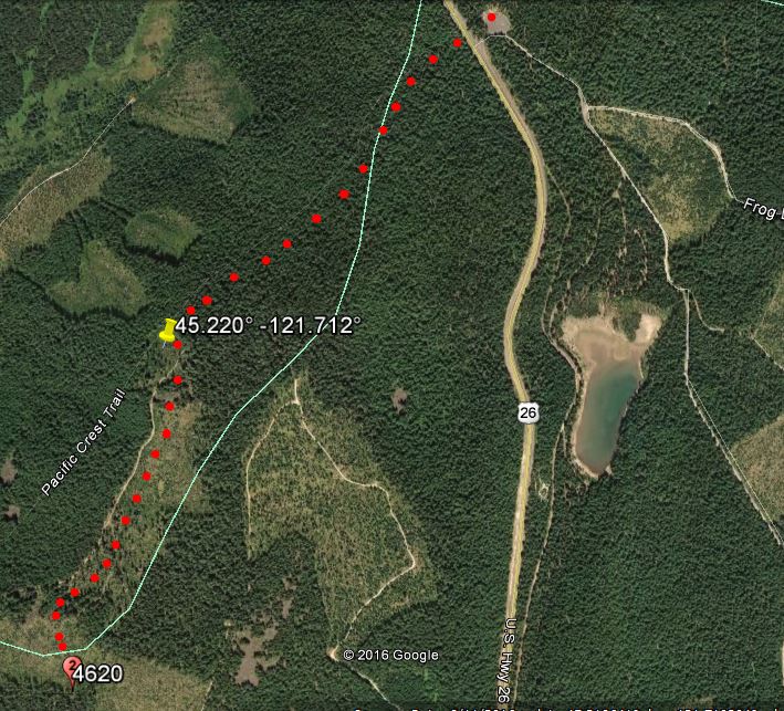
Park at the Frog Lake SnoPark, about 12 miles east of Government Camp on Highway 26 (in winter, an Oregon SnoPark Pass is required). Cross Highway 26 to the trailhead for Pacific Crest National Scenic Trail (PCT) - it's quite obscure in the winter but it starts near the highway sign for Frog Lake. Here's a spot where a GPS will be very useful. The Blue Box Trail proceeds more or less directly towards the summit. The AZ is roughly 300 meters in diameter - once we passed into the clearcut area we set up and operated. We found no T-Mobile cell service and surprisingly, no APRS coverage, so self-spotting was a problem.
For those that want to try this summit without snow, here's the trip report for a near drive-up experience: http://www.pnwsota.org/blog/k7atn/2014-may-20/peak-4620-or-may-2014.
Also accessed from the Frog Lake SnoPark is Frog Lake Buttes. It may be a bit much to do both summits during the shorter days of winter however:
http://www.pnwsota.org/blog/k7atn/2013-january-27/frog-lake-buttes-or-jan-2013.