Rogers Peak is the highest point in Tillamook County and the highest also in W7O/NC. It's fairly easy to access, given a good road that is fine for passenger cars, a road walk after a gate, and a final ascent using an overgrown cat track that leads you almost directly to the summit.
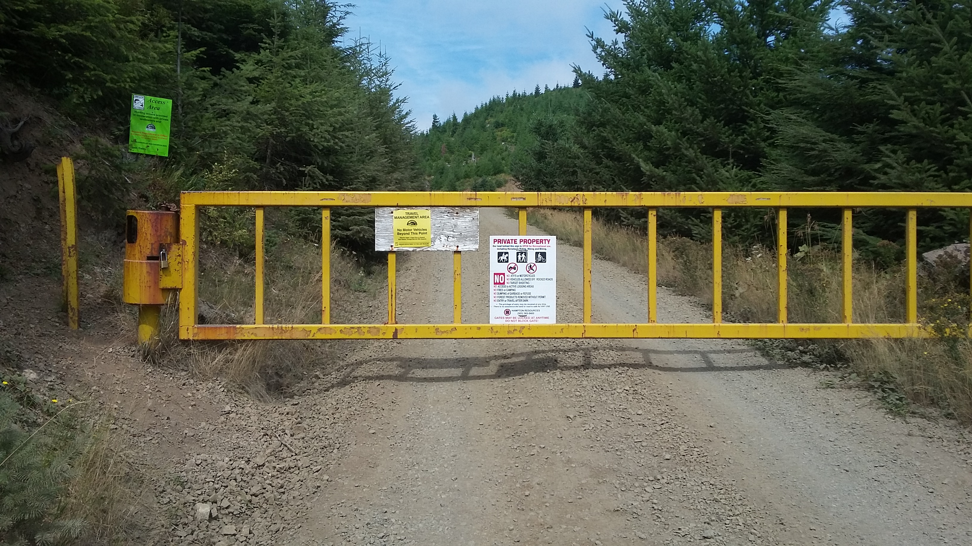
Head to the Coast on Highway 6 to Tillamook. Between mile markers 23 and 22, go north towards Jones Creek Campground, turn right and cross a bridge, and drive on the main track about 7.6 miles to reach a yellow gate near 45.649836, -123.556251. There are only about three choices to make on this road, keeping right the first time, left the second and right to cross a bridge and head uphill the third. Here are additional confusing directions from Summitpost. A GPS may give you decent directions or at least indicate you are getting closer to the summit.
There is little room to turn around even at the gate - we found a slight wide spot about 100 feet below to park in.
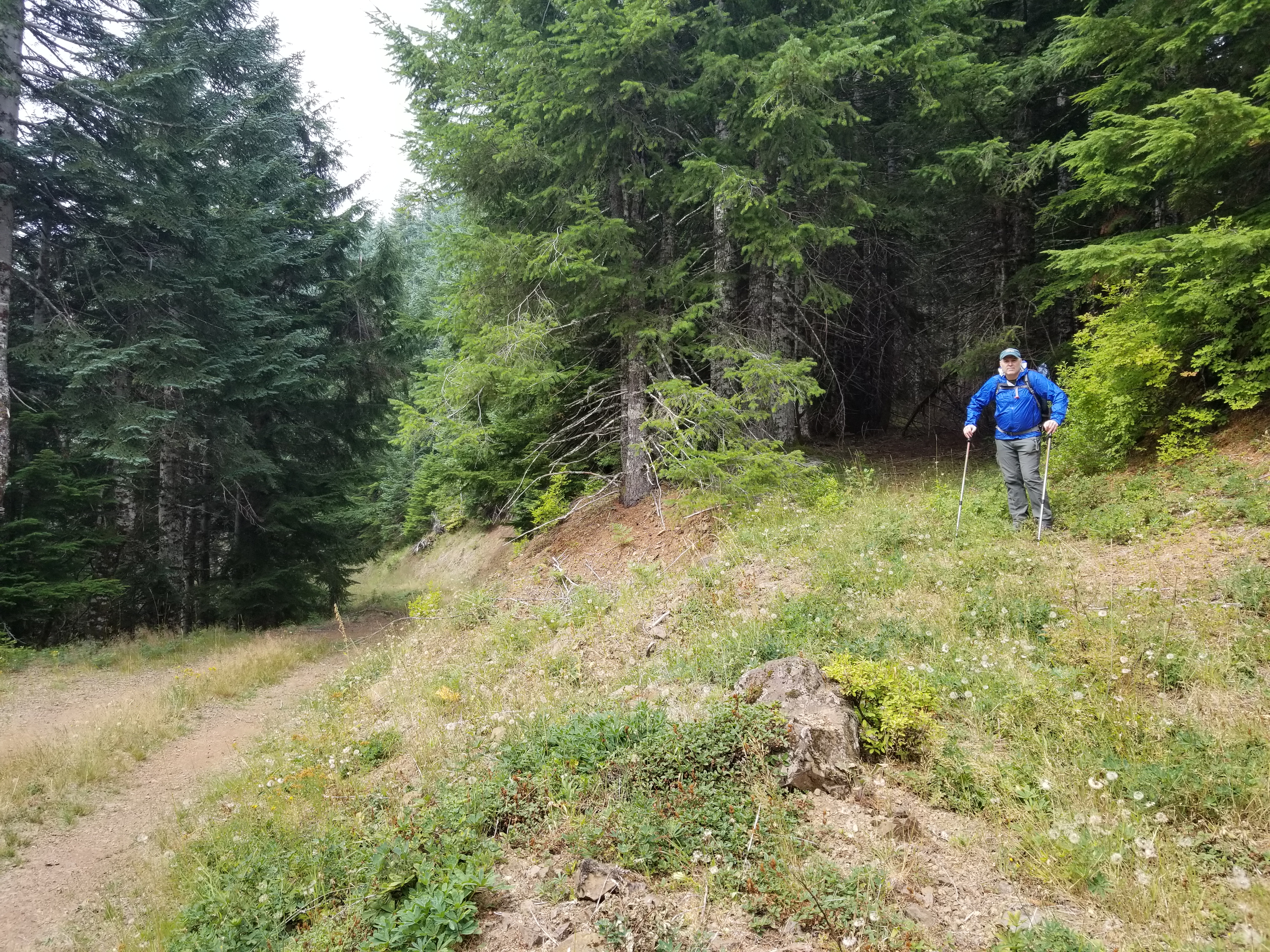
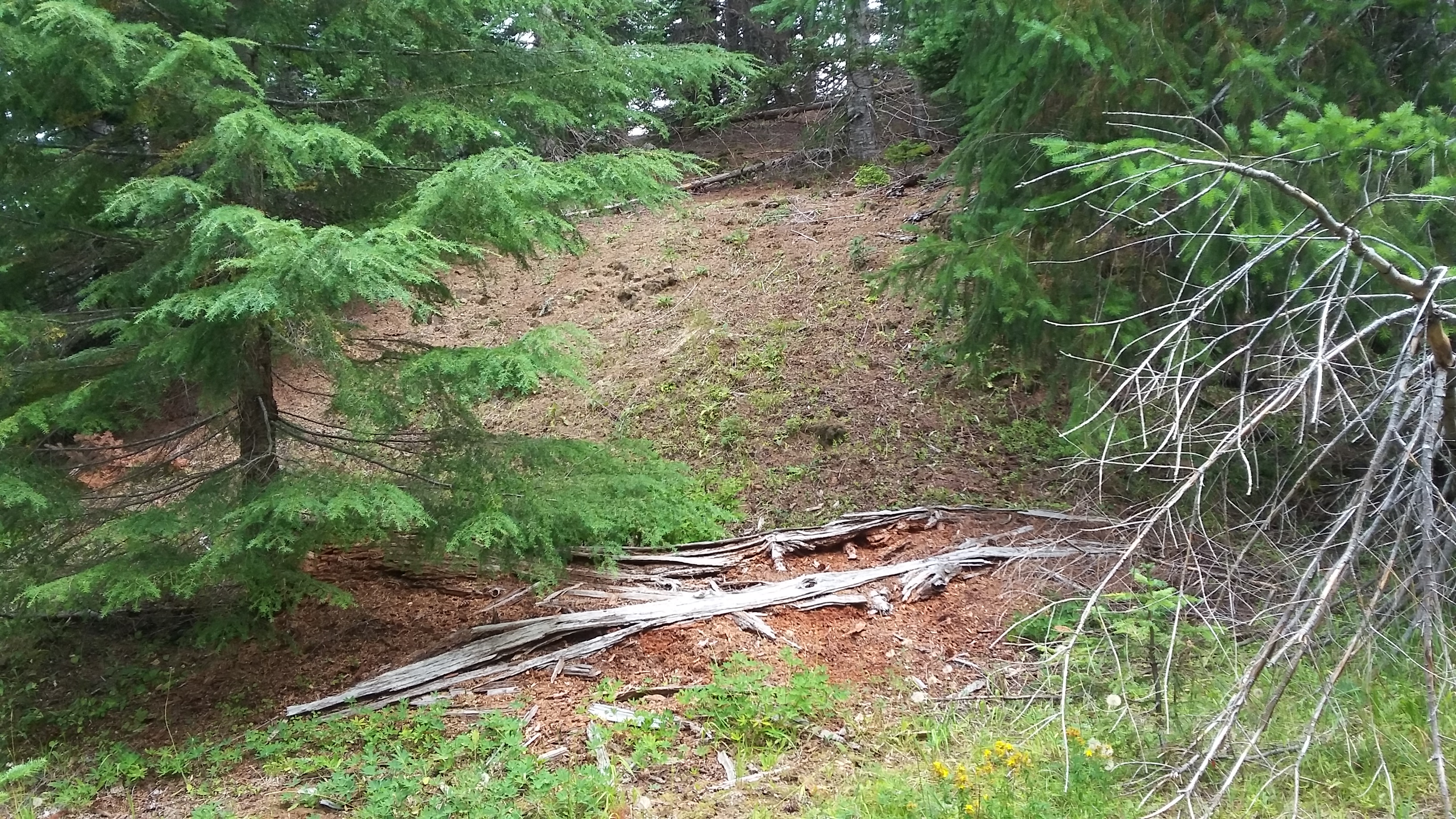
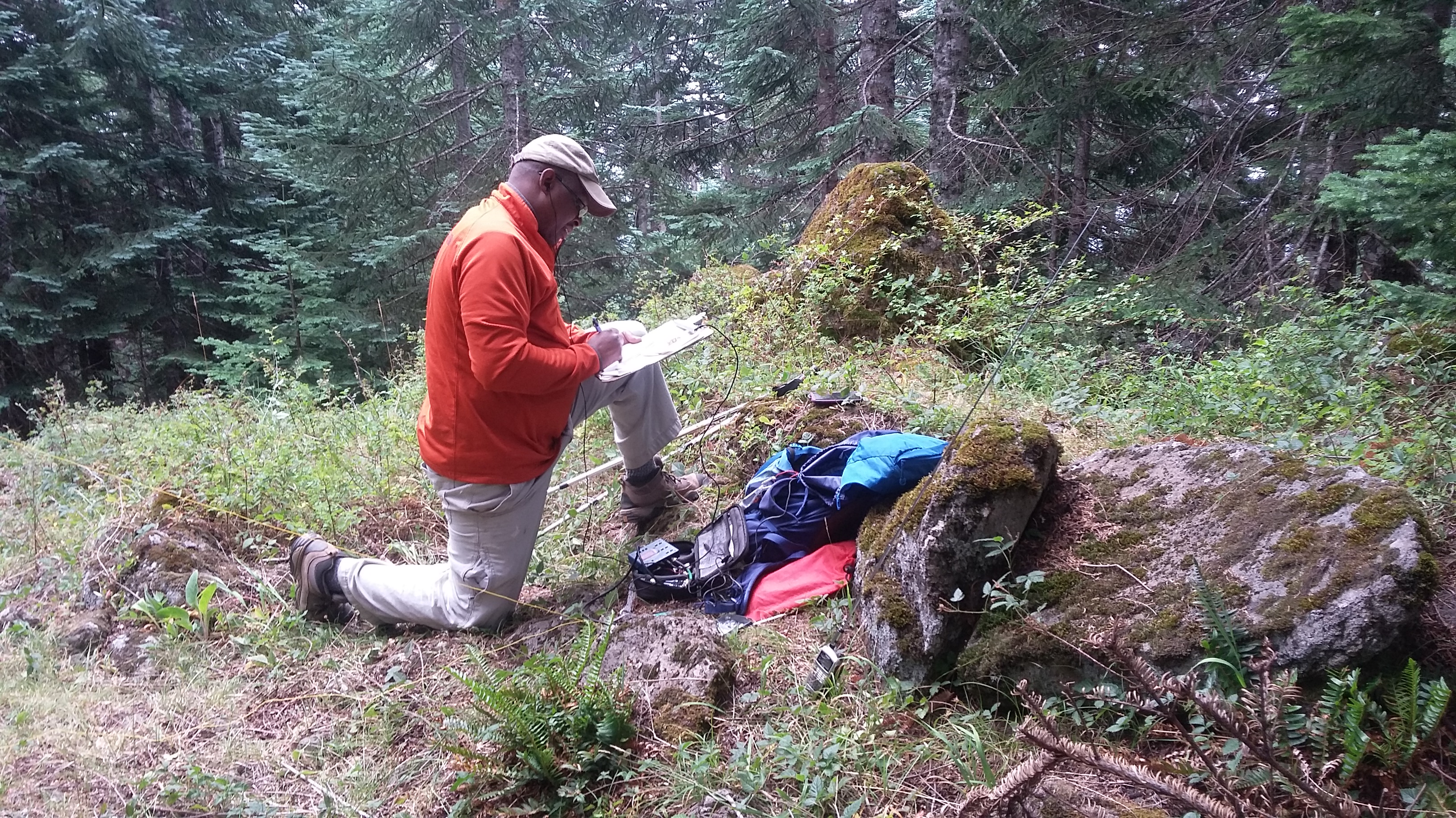
From the gate you'll hike about 2 miles on this road and gain about 1100 feet. There's one branch road and one switchback, but the maintrack UP is fairly obvious. The steep summit block is right next to the road - go until your GPS shows that the summit is to the left and behind you - this is to lead you to an abandoned road or cat track heading up to the summit starting near 45.6651° -123.5454° (pictured below). From here it's about 0.15 miles to the summit. This old road will turn to the north and seem to fade away - just before this there will be an easy slope on your right heading a short distance cross-country to the summit. You'll find a large rock and some summit registers at the summit proper, and a couple areas open enough to set up antennas.
This summit is so far into the Coast Range that you'll not likely work folks in the Valley on 2m fm. Although we did work Scott-KI7EMX and Brian-AF7MD S2S and Dan-N7YY in Sandy. There's little cell coverage for Sprint and none for T-Mobile, so plan your spotting accordingly.
You might consider adding Peak 2814-W7O/NC-073 to your activation as it's not much out of the way.