Pine Ridge is a steep hike of a little less than one mile (OW) and 800' vertical, close to Gray Butte-W7O/CE-180 and Grizzly Mountain-W7O/CE-135 so you might consider doing other peaks in the area. Do not confuse this "Pine Ridge" with the W7O/CE-157 "Pine Ridge" about 50 miles to the south.
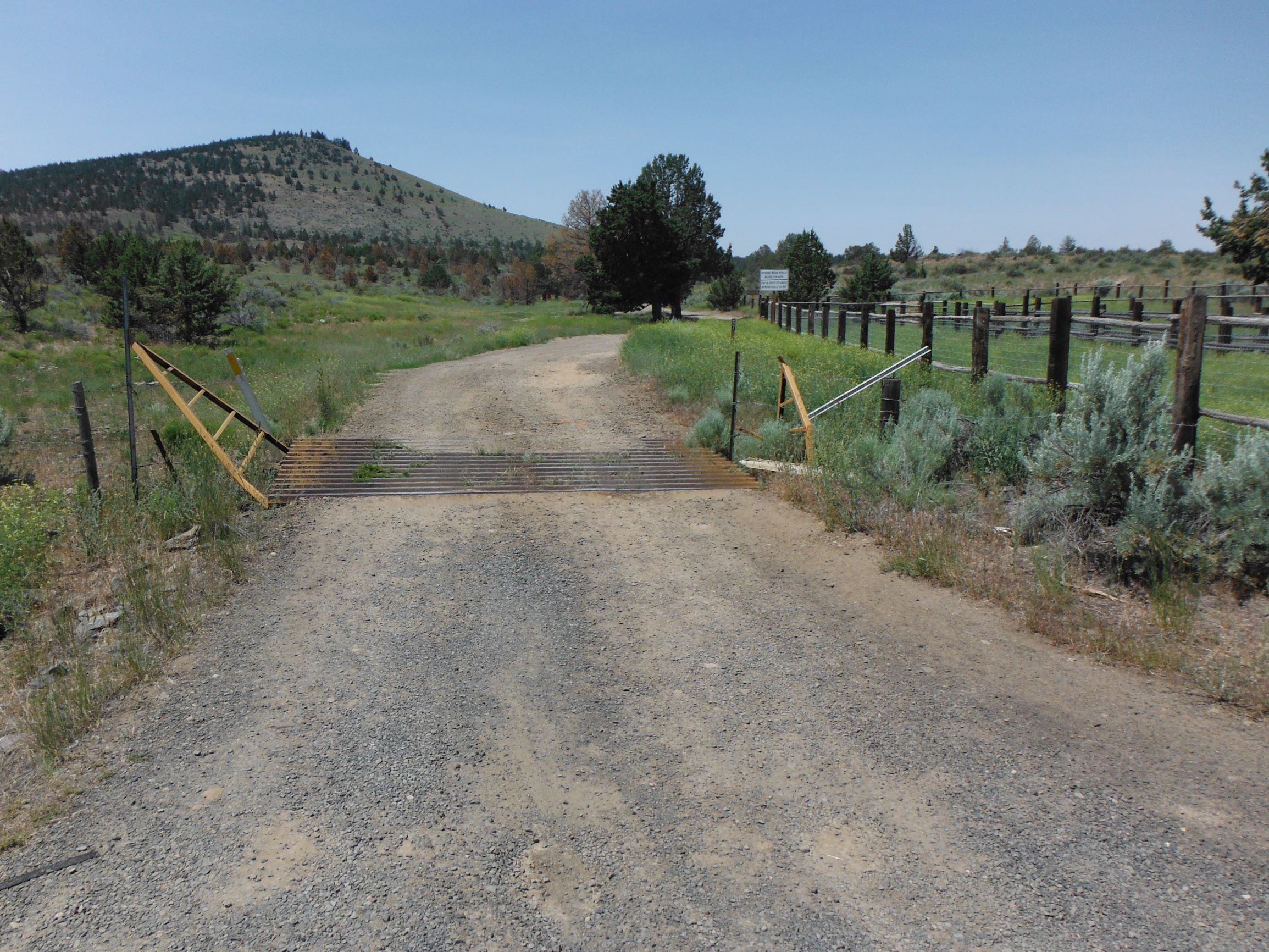
Head about 13 miles west of Prineville on Highway 26 to Lone Pine Road, a sharp left turn. Go only about 0.2 miles to an unmarked road where there is a corral and the first cattle guard. This road is not suitable for passenger cars, and might be a little challenging for a Subaru with moderate clearance.
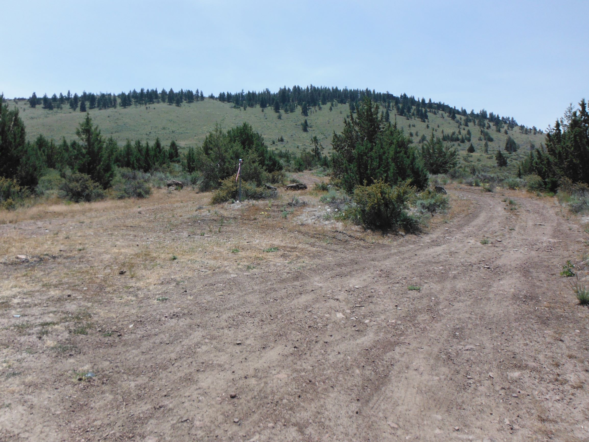
You'll got straight for about 1.5 miles and find a left turn about 0.1 mile past a second cattle guard. Turn here and go some distance, depending on how much you like your vehicle - I parked before it got hugely rutted and narrow and walked a bit farther.
From the turn off (pictured) it is less than a mile, so shaving off a few tenths doesn't make that much difference.
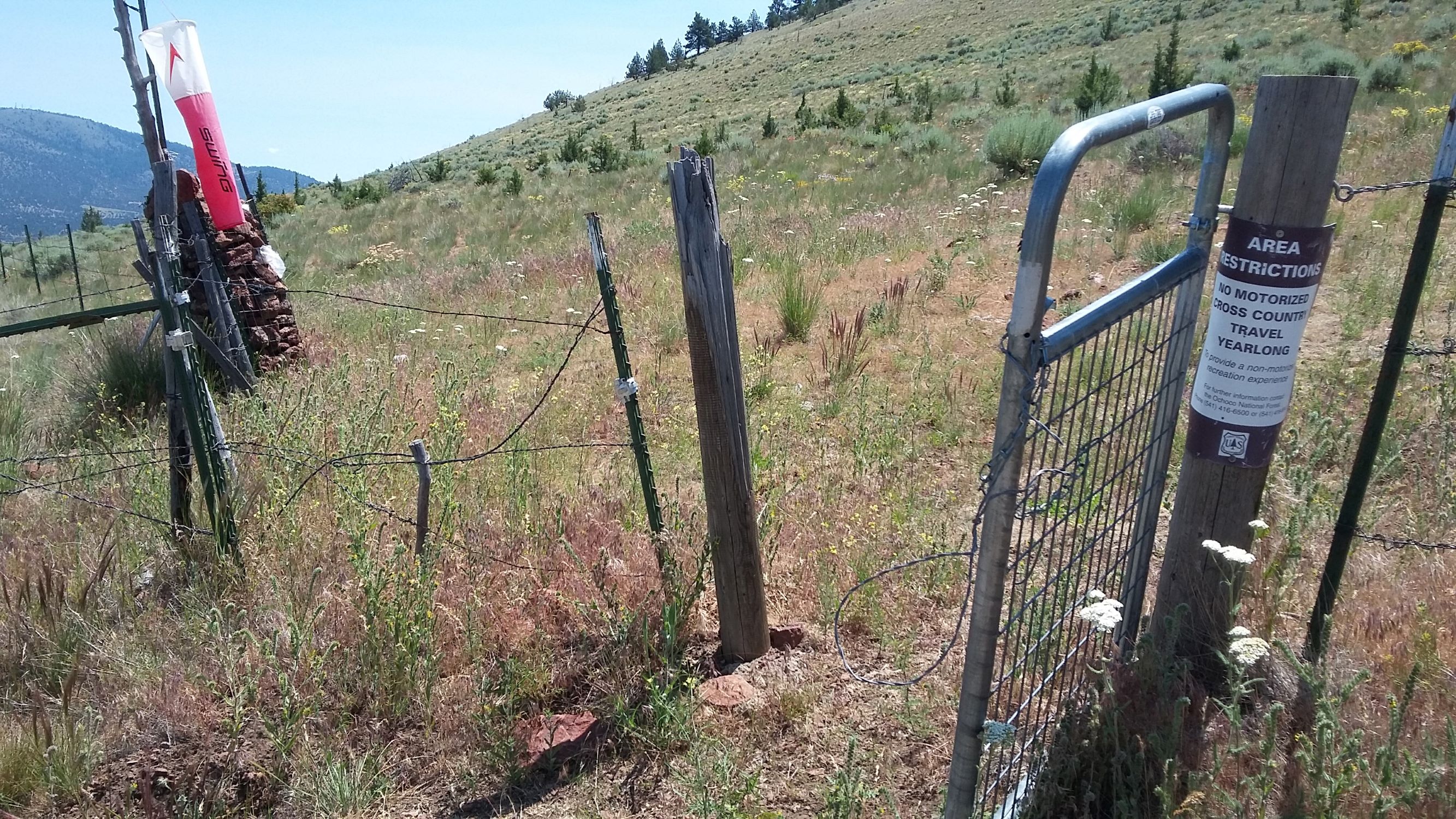
What does make a difference is how steep the route is - head up this rough road to a gate with a wind sock. Past the gate there will be a sometimes elusive social trail straight up to...another wind sock. This is a hang glider launch site but not the AZ.
Once you get onto the ridge you are still not at the summit - there's more distance along the ridge than in the steep slope, but it's worth getting to the high point. You'll think you've reached the summit, but the GPS will tell you it's still a bit farther - - this will happen four or five times before you reach the actual summit. Remember, they call it Pine RIDGE.
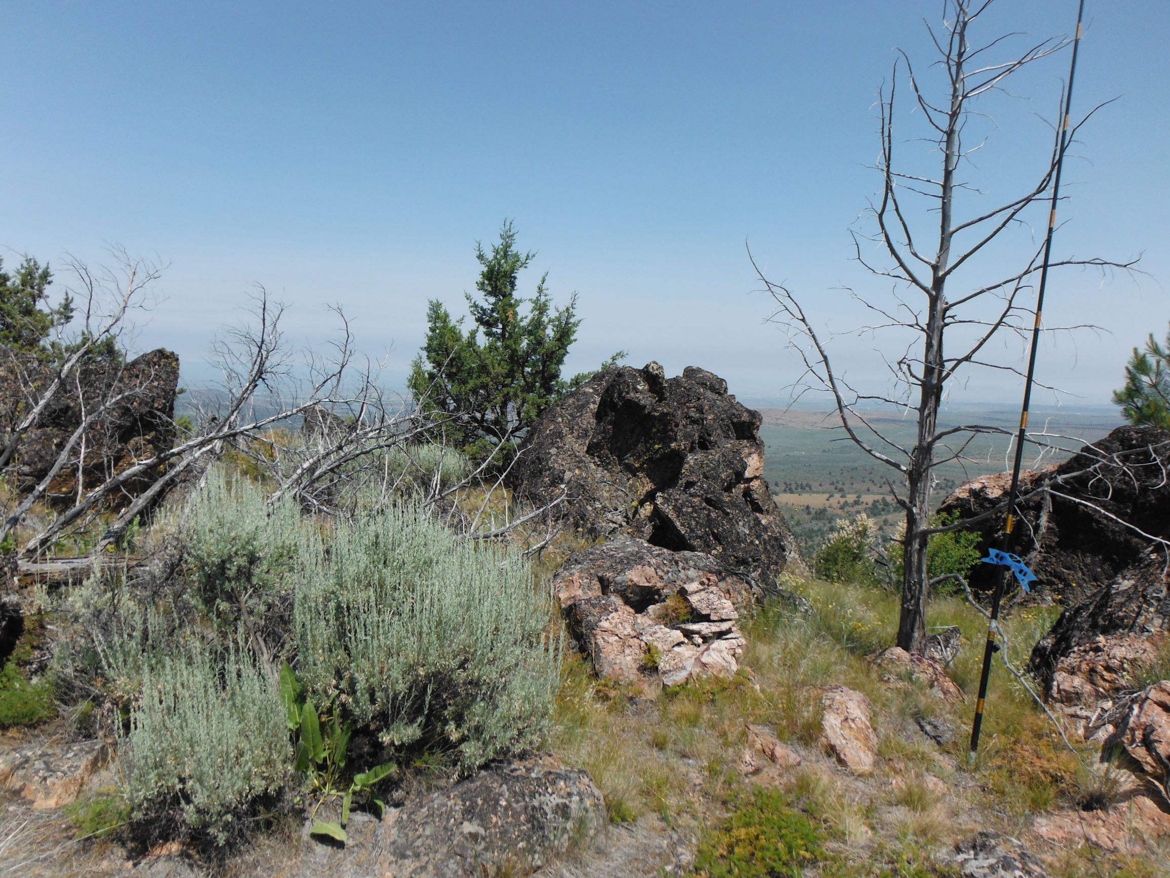
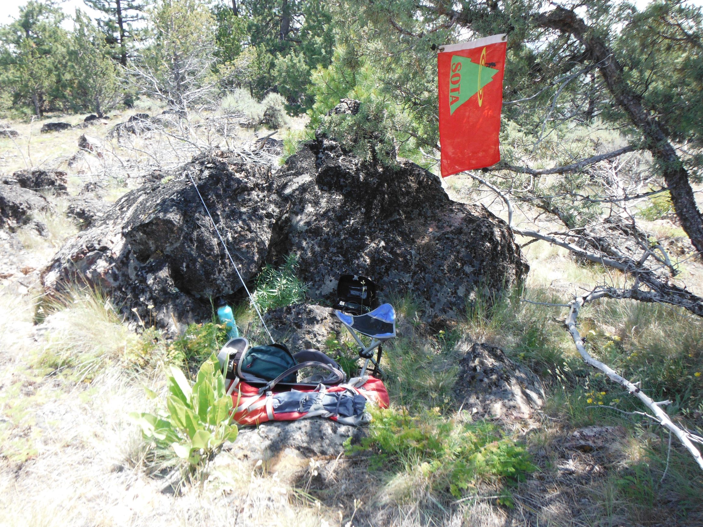
The summit is a nice place to activate - a bit of shade, a level spot, trees for antennas - and a nice view in most directions. Locals suggest that you try 146.52, .50 and .58 if you want to work 2m FM but even with Prineville a few miles away, you may not get four.