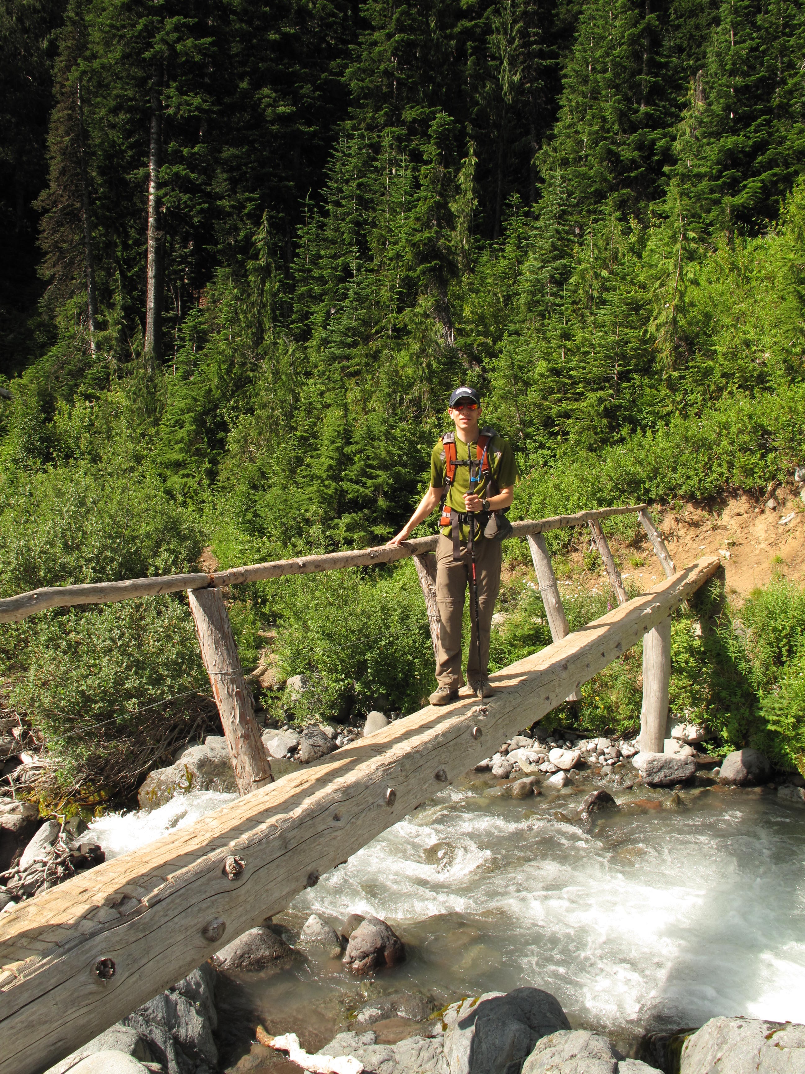
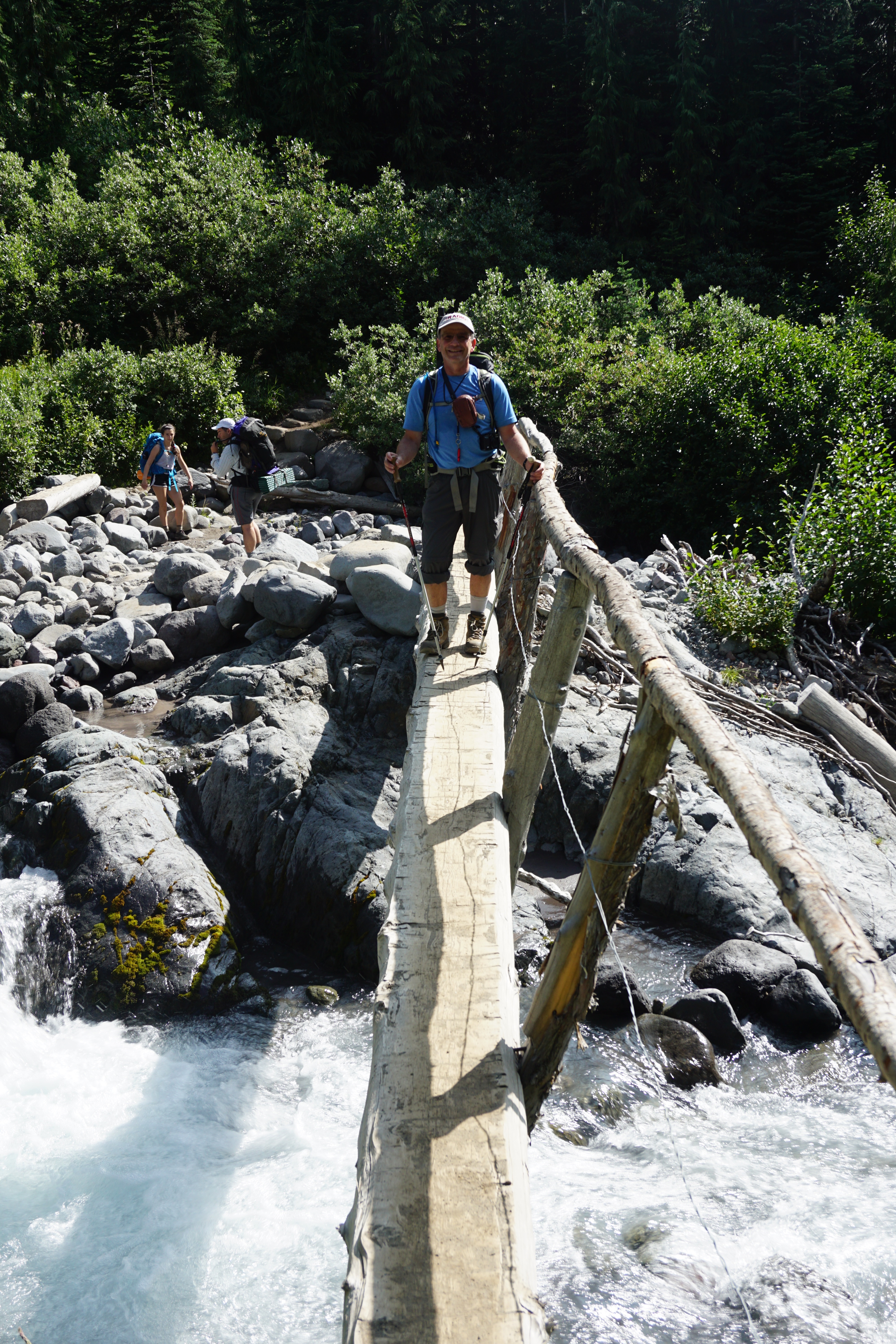
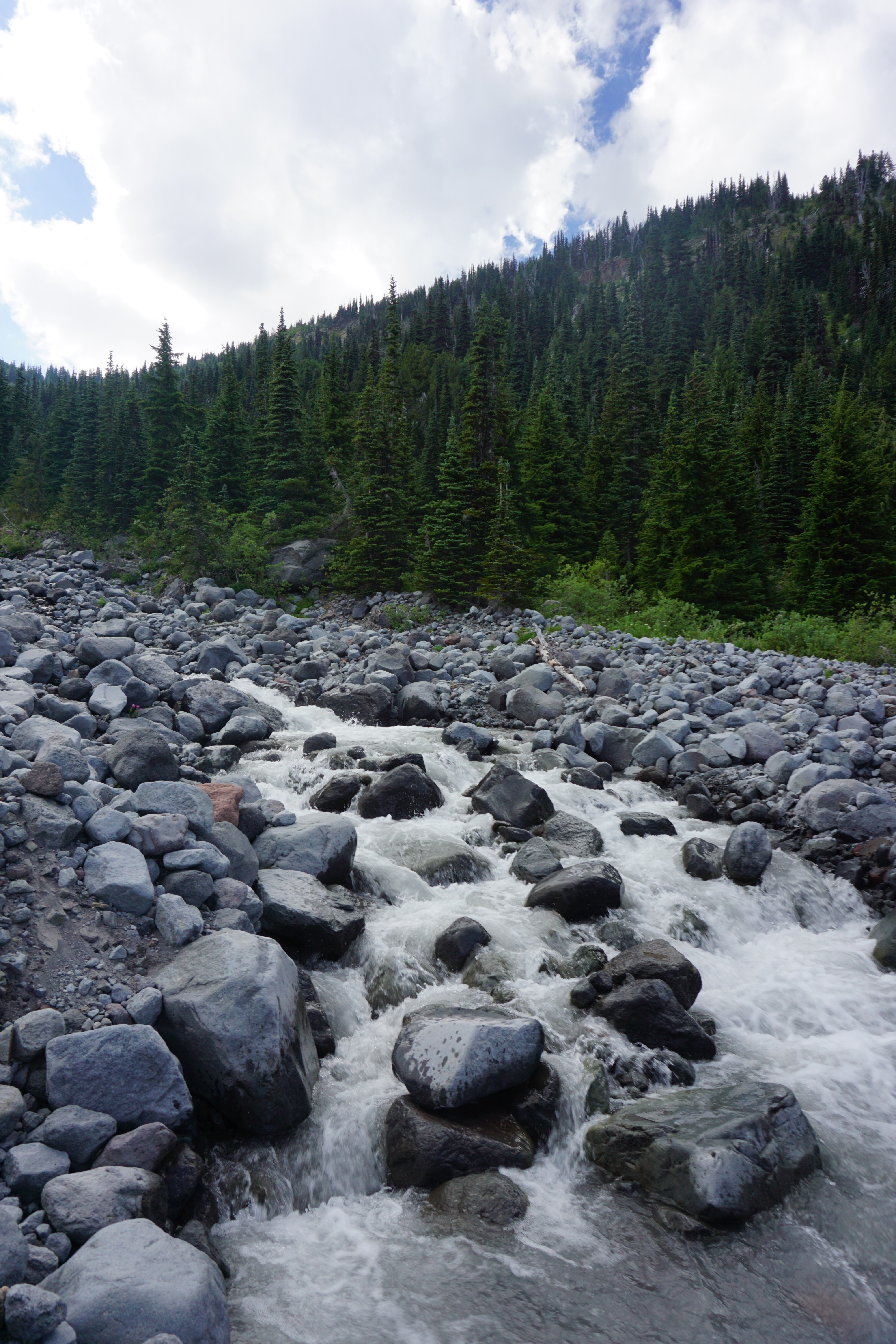
An Activation...yes. A great trip...undoubtedly! However no points to show for the effort, as I only managed to eke out 3 + contacts on 40M ssb... Yet I do not consider it a failure. I will return again, and give it another try. Round trip travel was 13.1 miles, with something over 4,000 feet gain, including some ups and downs along the very long summit ridge. Highlights included portions of the Wonderland Trail of Mount Rainier Park, a few creek crossings of the wildly flowing Fryingpan Creek, replete with slippery boulder hopping leaps, and being able to spend time with my son, KC7SQD, who was up visiting from LA LA Land.
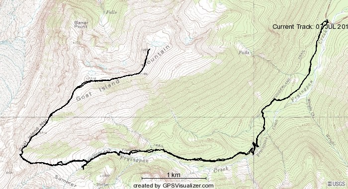
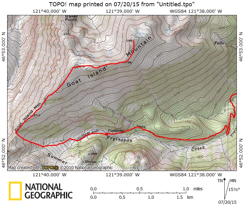
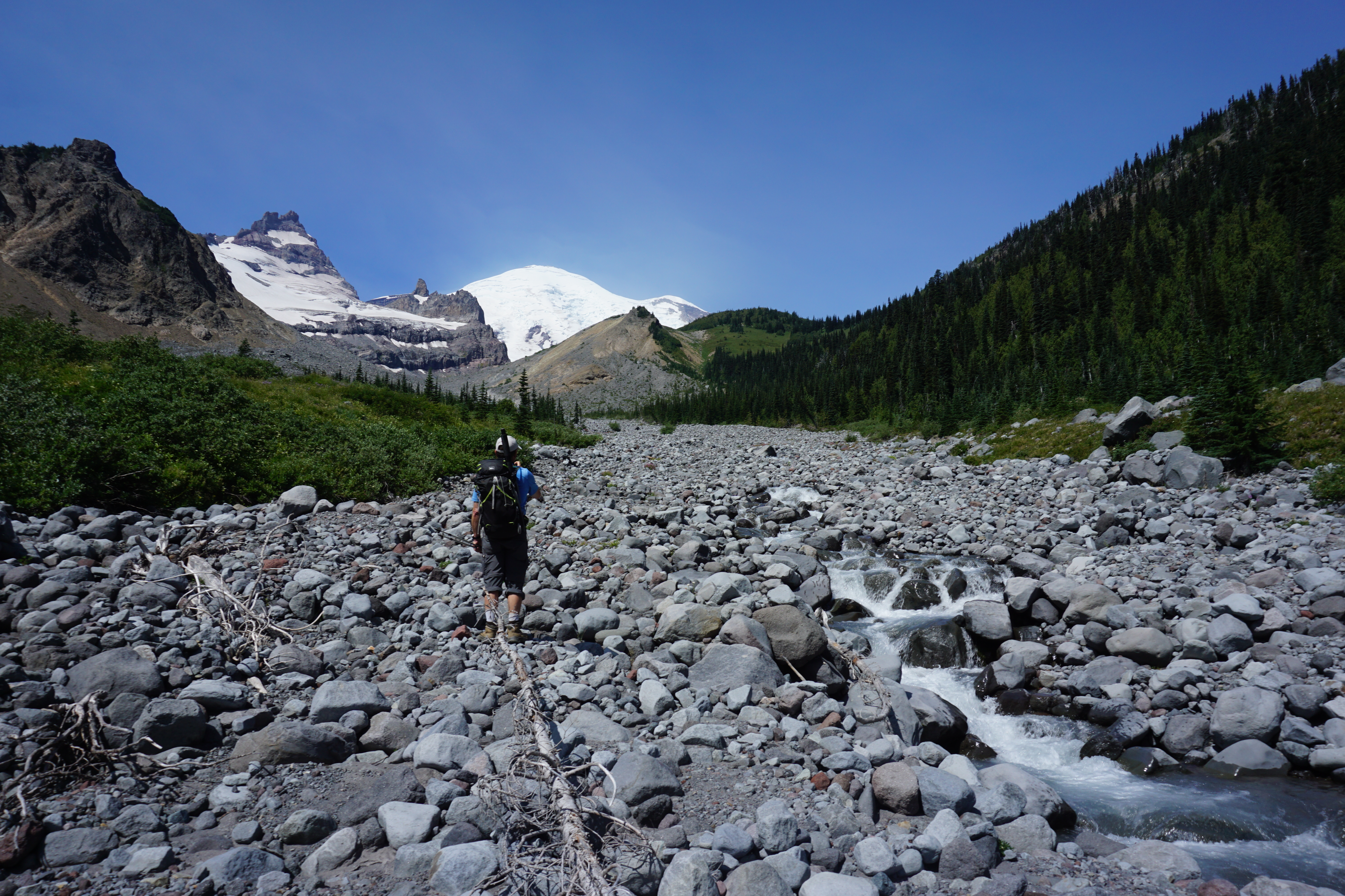
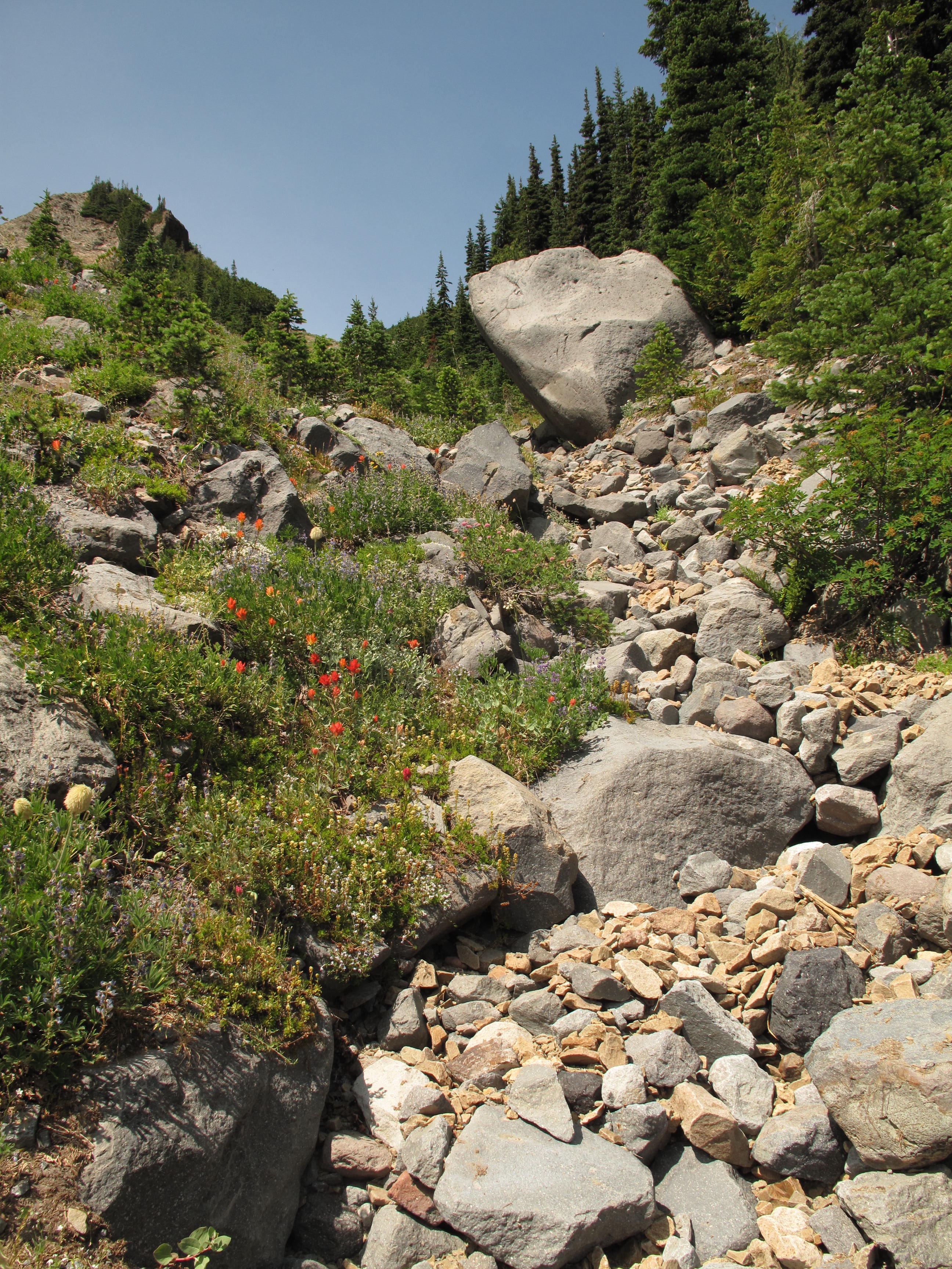
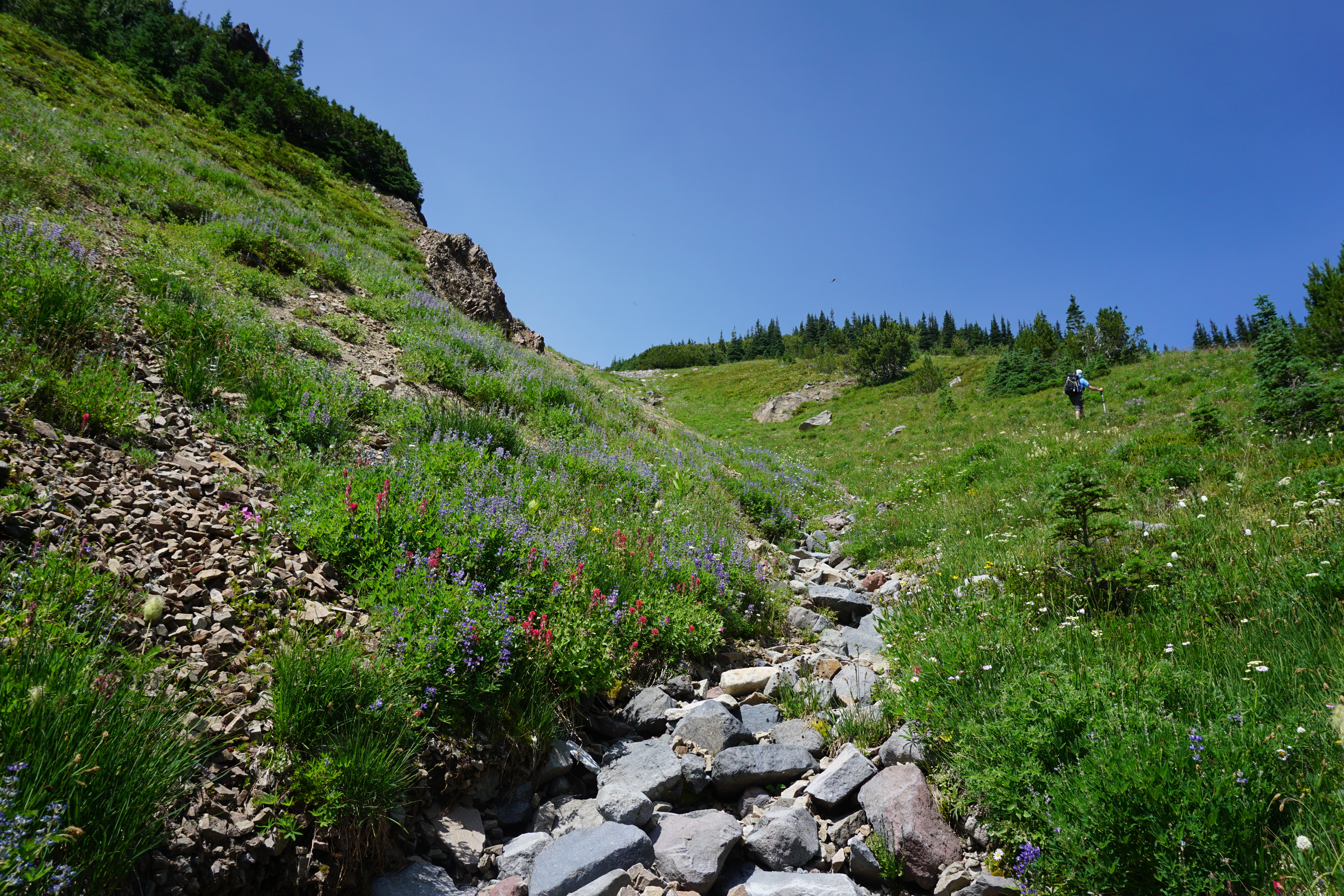
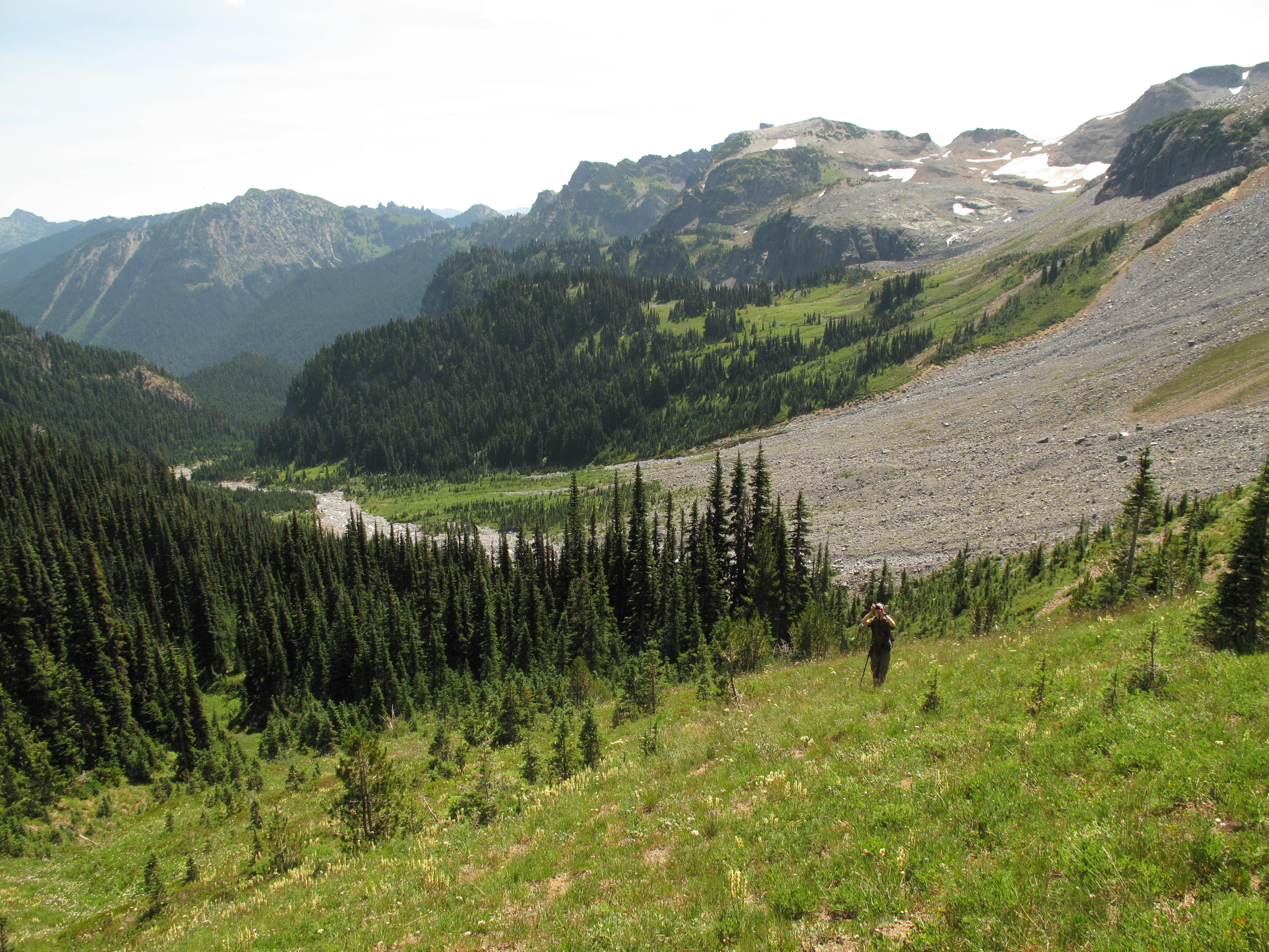
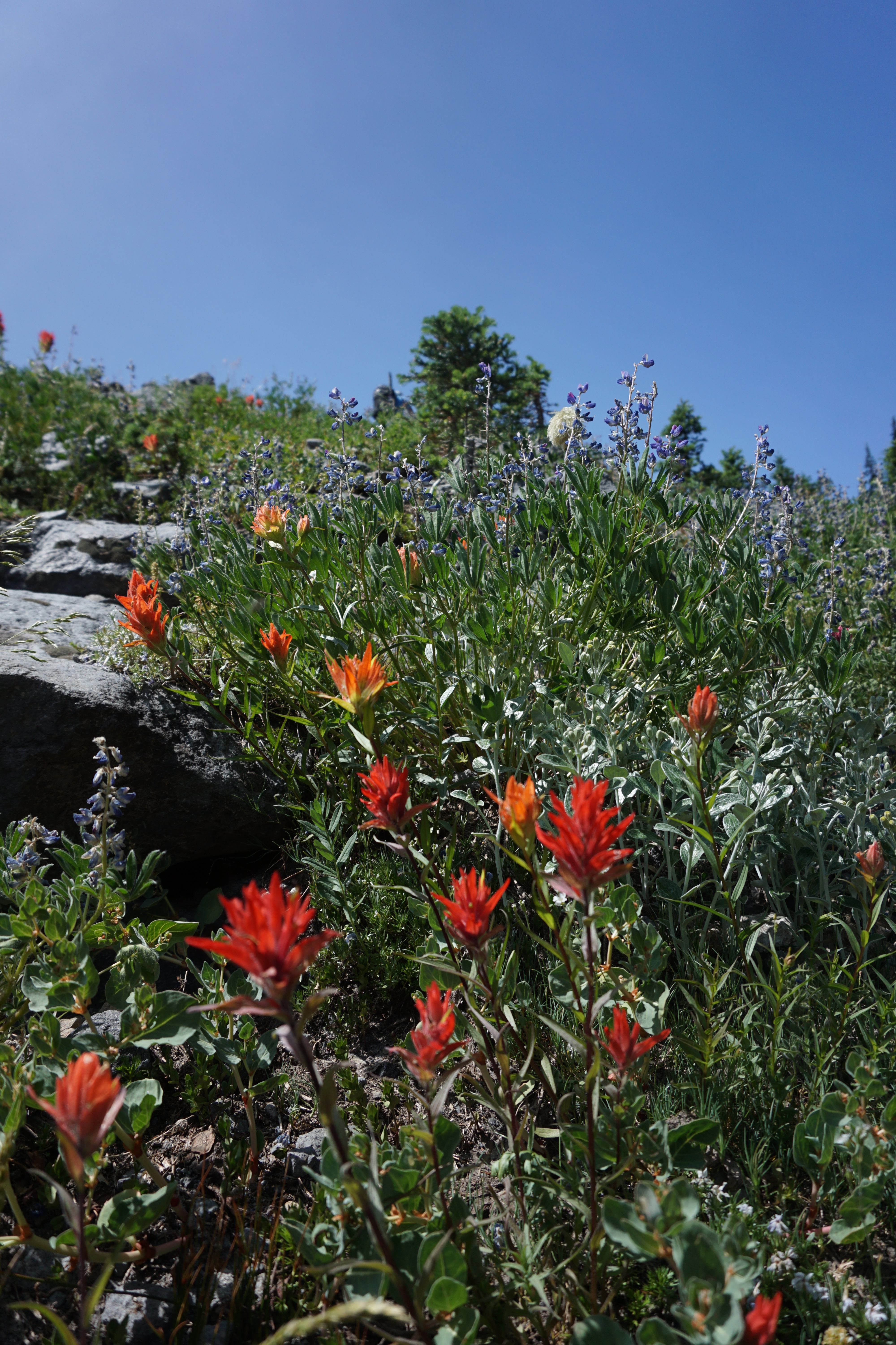
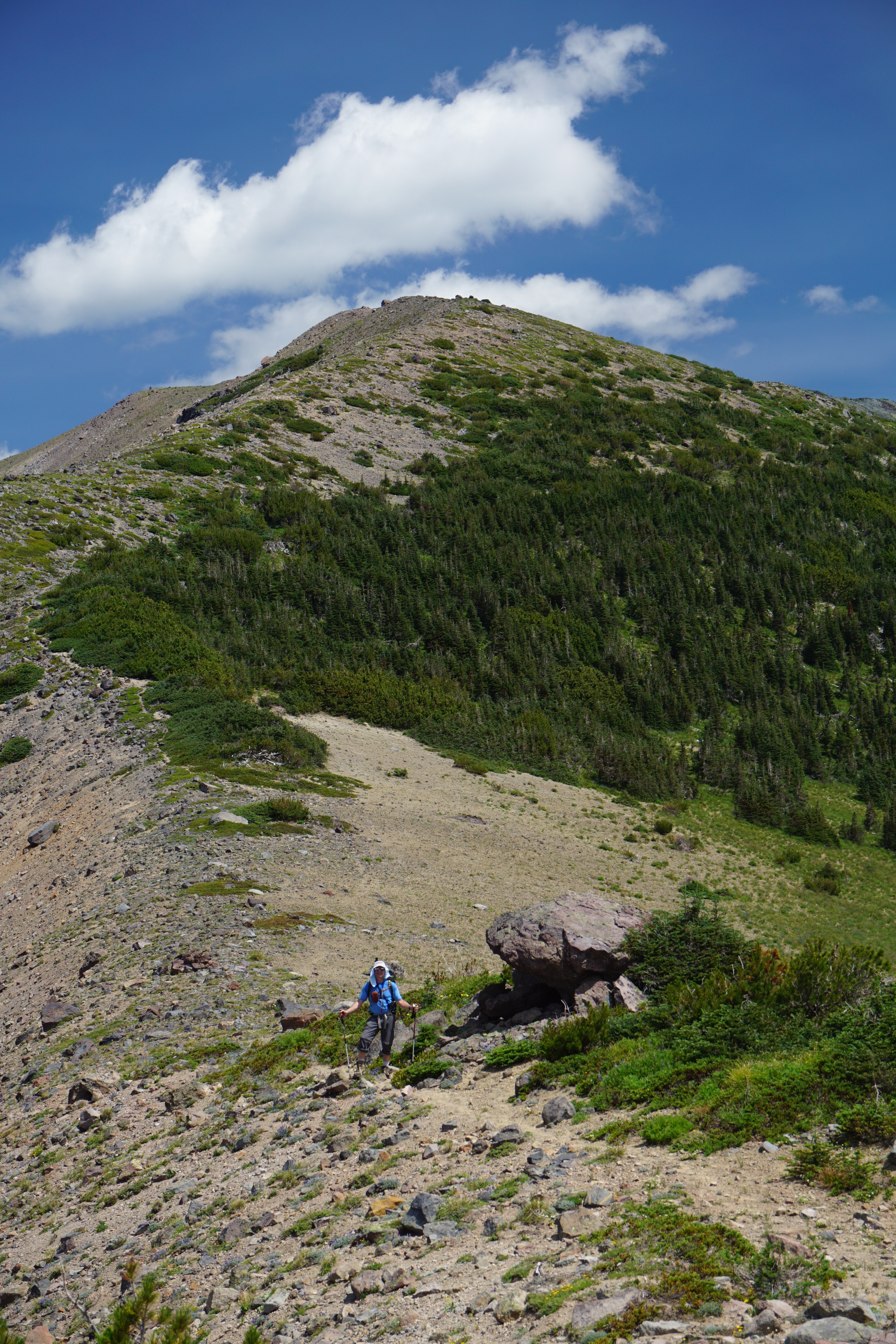
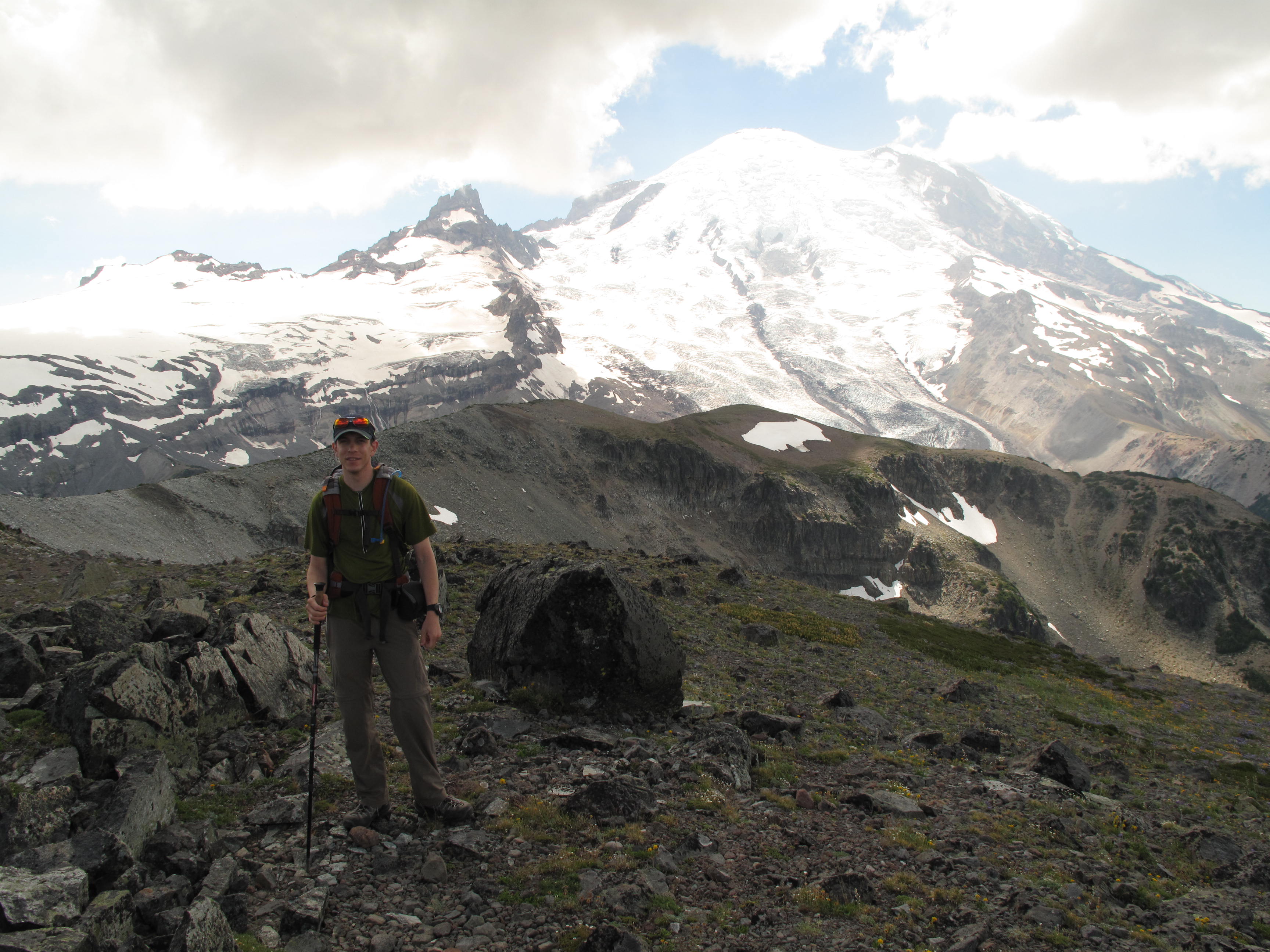
Access to Goat Island Mountain is from Wonderland Trail, the section between White River Road and Summerland. Approximately 3.5 miles in on the Wonderland Trail, just before the first switchback heading to Summerland, and at approximately 5,430 feet elevation, find a footpath leading down to a very brushy area adjacent to Fryingpan Creek. There are numerous paths around, some animal, some climber boot beaten paths. Take path of least resistance down to the creek, and head upstream as best you can, amongst the boulder field that is Fryingpan Creek basin. Generally head due west, looking to reach the obvious low point in Goat Island Mountain ridge between point 6,491 and point 6,719. See photos. From the low point in the ridge, generally head NE along the crest of the Goat Island Mountain ridge, over no less than 5 false summits, before reaching the true summit, shown as point 7,288. The views from the moment you reach the ridge top, and along the long traverse to the summit are amazing. The low snow year exposed the Emmons Glacier on Rainier and the Fryingpan Glacier on Little Tahoma to bare Ice, replete with myriads of crevasses and rock debris fallen from the crumbly rock that is Mount Rainier. It looked like the climbing route up the Emmons Glacier of Mount Rainier has become very problematic / challenging this year due to the low snow cover remaining. See photos.
Plenty of area to set up almost any type of antenna you might want to use. My 20M - 40M linked dipole, coupled to my KX3, seemed to work well, snagging three quick contacts on 40M. That is where I seemed to hit a brick wall. Despite over an hour on the summit, I could not make my 4th contact. I tried 20M, 17M, 15M and 2M FM to no avail. As time was running out for our proposed turnaround time, I finally had to face the fact and pack up. I'm convinced that I would have been successful had I been at the Activation Zone a couple hours earlier than my 2:30 PM, local time, Activation start time. Another takeawy is that I must return to using CW, as many successful Activators are running CW almost exclusively. Must be something to it...!
We elected to return to the TH using the same route. There are some parties that elect to descend the East / Northeast ridges down from the summit towards the White River, and make this a loop trip. As much as it seemed nice to contemplate a loop, we decided agaist the idea. We made quick work of the descent, knowing the route, and avoiding some of the bushwacking and thrashing encountered on the way up. Re-crossing Fryingpan Creek was a little more challenging, as the snowmelt made the creek higher and faster running. Still, it took us just under 3 hours from summit to TH.
I shall return...
Note: Most pictures are by Jeremy Sandler, KC7SQD