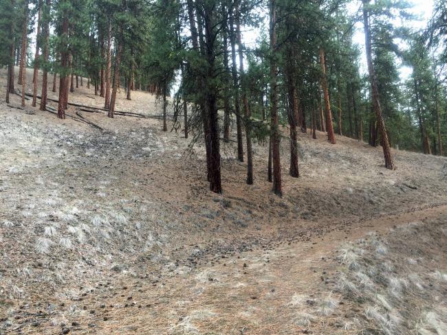
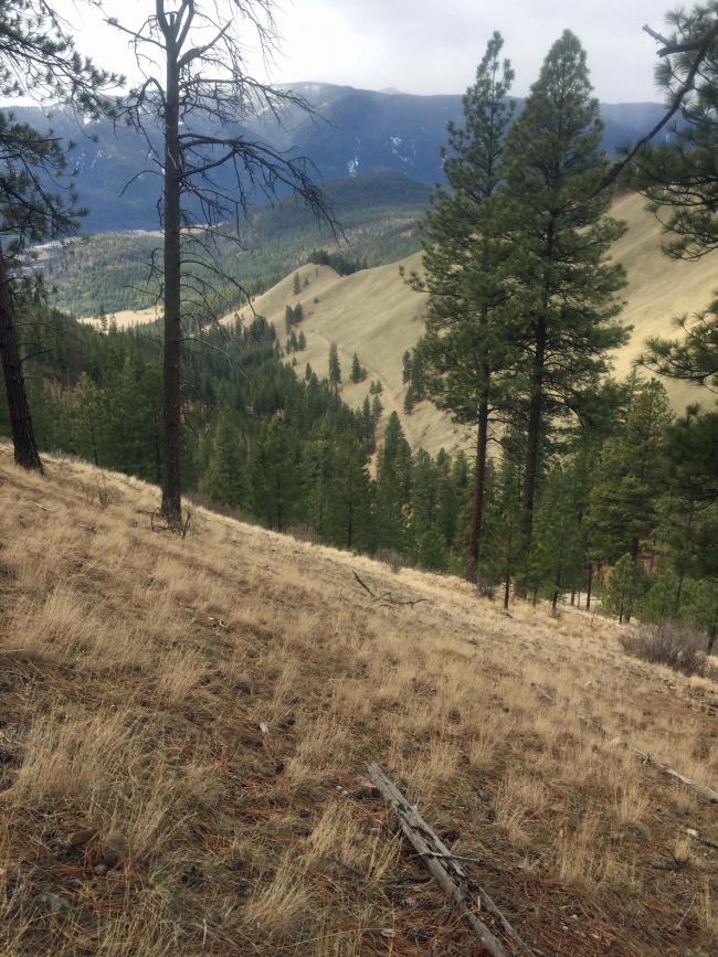
Bald hill isn’t really bald. It is a fine grassland on its south exposure, but is tree covered on the remaining west, north and east exposures. Access is available any time of year, albeit steep. It is prime winter range for 50-100 elk each year so avoiding December through February could prevent disturbing the elk.
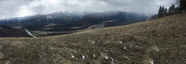
Road access is a short distance off I-90 near Superior Montana. Good trail is available for the next 1.5 miles on an old logging road. Then it’s a ‘your choice’ steep climb the final 0.75 miles. Views are good of the Clark Fork Valley and the rugged Bitterroot Mountains along the Idaho Montana border.
The summit has trees for antennas, but not much shelter from the wind.
Elevation gain: 2400’
Trail Miles round trip: 3 via an old logging road
Off trail climb round trip: 1.5 miles
Water: None.
Bear Pepper Spray: Highly recommended in all Montana summits.
Map: US Forest Service, Lolo National Forest, Superior Ranger District
Directions: From I90 take exit 43, head north and cross the Clark Fork River. Turn west (left) onto the old highway and travel 1.8 miles to FS #389. Take #389 for approximately 0.8 mile to a parking away just near the closed road #18548. It may not be signed and was closed by an old broken pole gate. Hike this road approximately 1.5 miles into a large dry draw. From here head up a steep forested slope approximately .75 miles to the summit. One can follow old skid trails or hit a lateral road to the southeast ridge and follow the ridge.


