After my success over at Break In Pk., I continued on to Lone Butte to give it another go, after my previously failed attempt. Access remains the same, only take the road in if PNW pinstriping is something you like to adorn your paint.
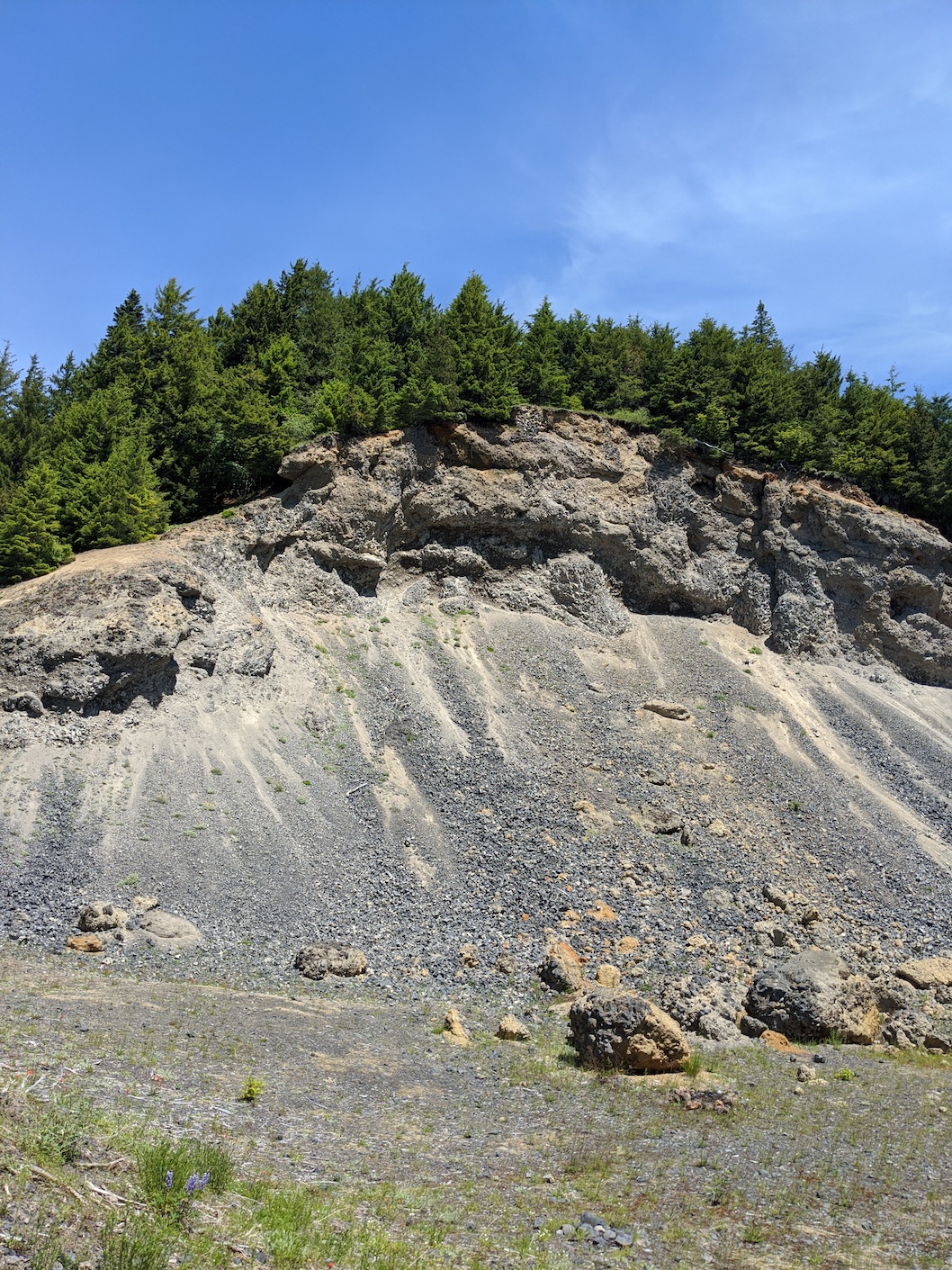
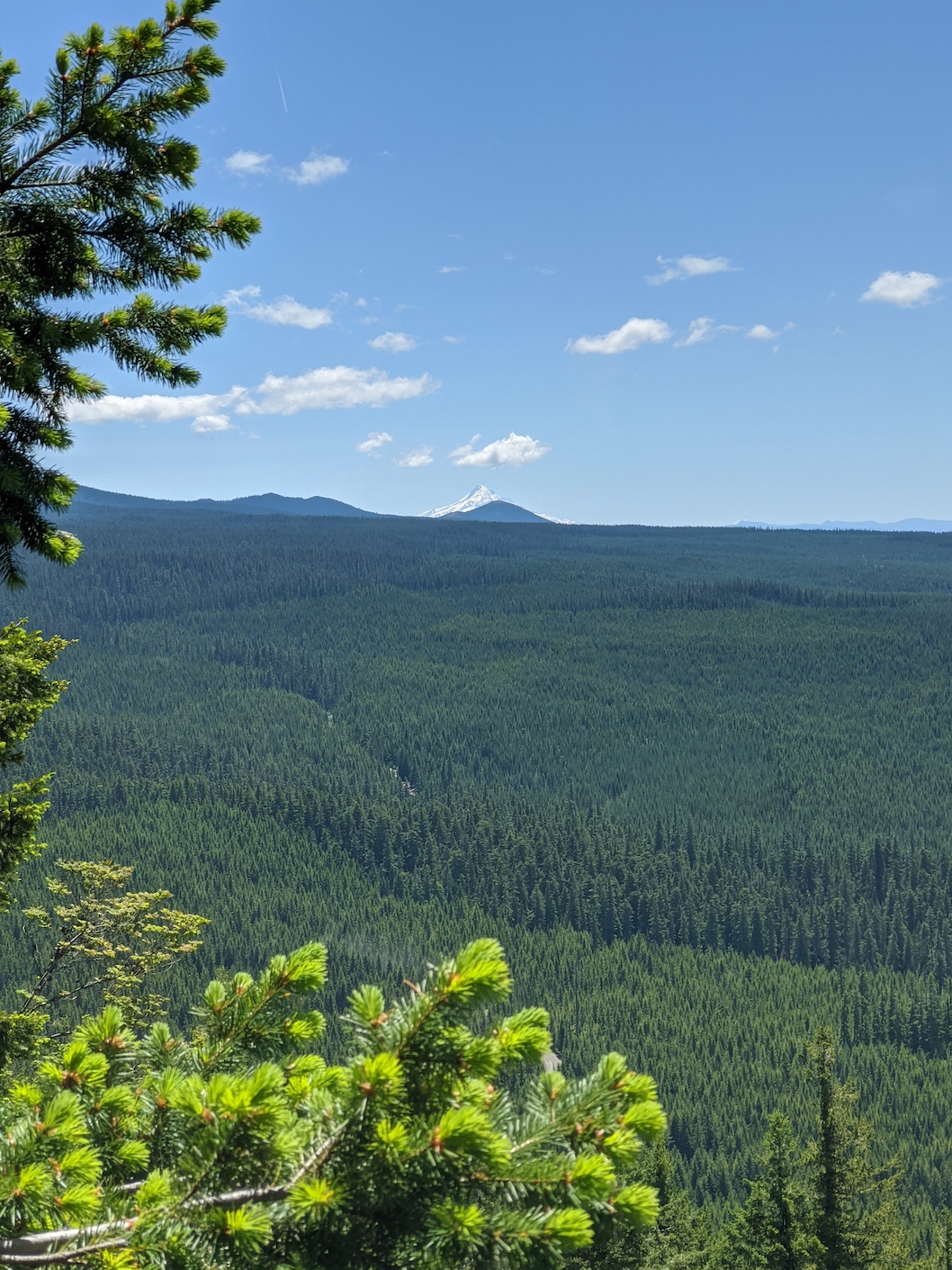
From the quarry at the bottom of the hill, I proceeded in much the same manner. I first worked my way through the very dense brush on the NW corner of the quarry, onto the old road-bed (this was the moment I realized I left my FT2DR in the 4runner, but already decided it wasn't worth fighting back trhough the brush for!). A short way in, where you break into another clearing, you can see an even older road heading up and back toward the SE. Begin walking up this a short way, but keep an eye to the uphill edge of the road. There is one very good large tree who's roots make an excellent step to get over the lip of the road. From there, zig-zag your way up the hill as you best see fit. Both times I have done this now, I have ended up in the small clearing just at the top of the quarry, providing a nice view back down to your vehicle, and you get a nice view of Mt. Hood. From here, just follow the high point of the ridge as best you can.
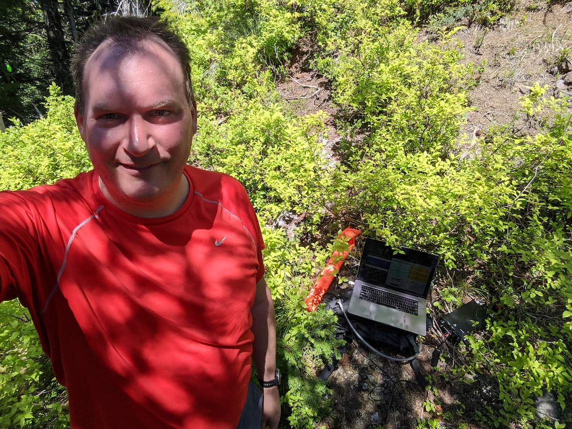
After cresting onto the top of the ridge, the slope lessens a considerable amount. At this point, over ground, you've covered a whole .25 mi from the quarrry! The next .25 mi is a comparitive walk in the park. There are various elk trails to follow, and generally enough thin patches that navigation through the brush is no issue. As the grade of the ridge begins to climb again, you know that you are approaching the summit. Oh, also, the brush gets super thick. I had a few occasions of back-tracking in the last segment, as the brush simply got too thick to push through. The final bit to the summit, I did not even attempt, as the final approach got to it's steepest, there are no animal trails to follow, and you are presented with a literal wall of brush. At this point, I was within about 25' ft elevation of the summit, I chose to activate here.
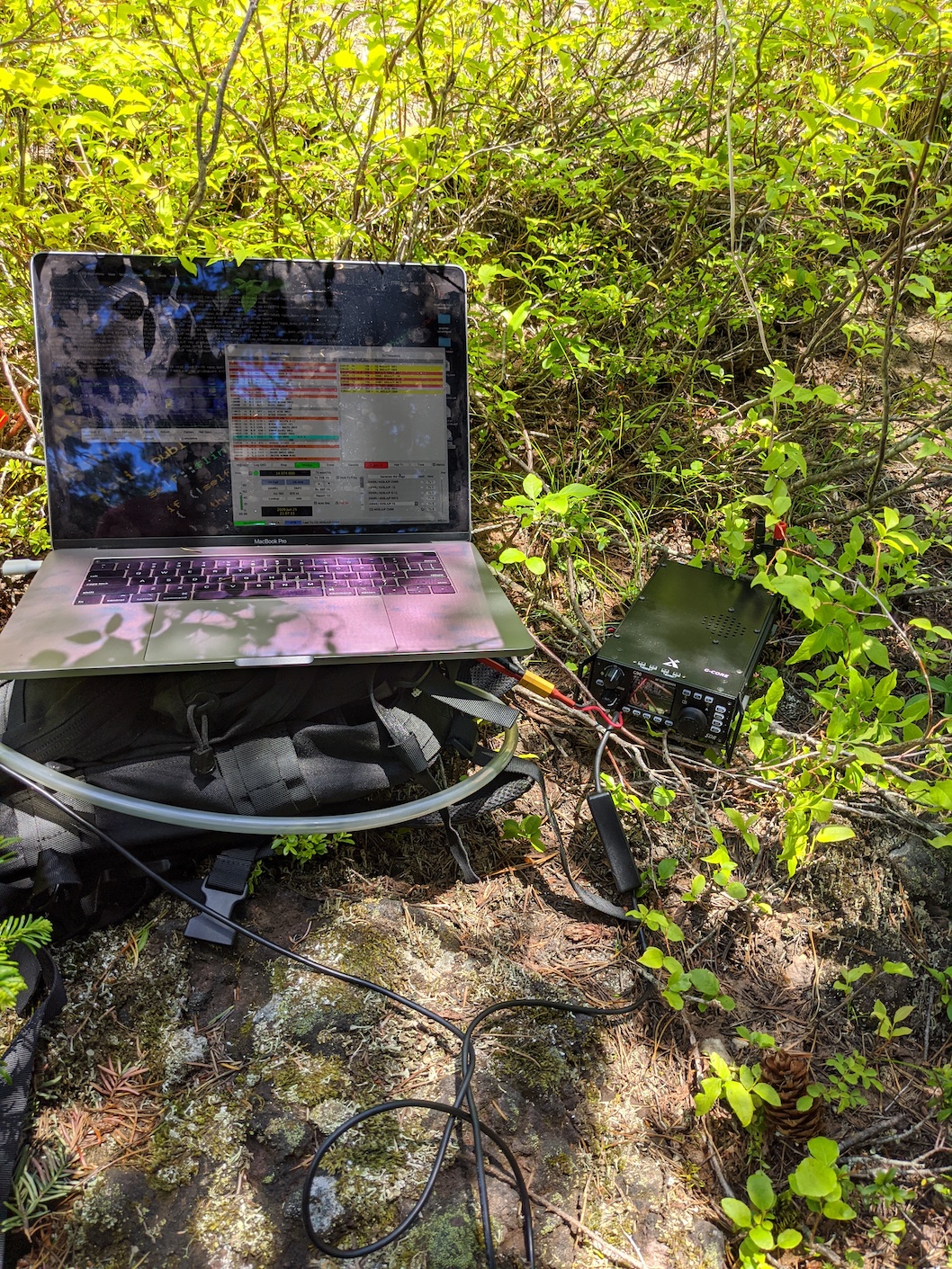
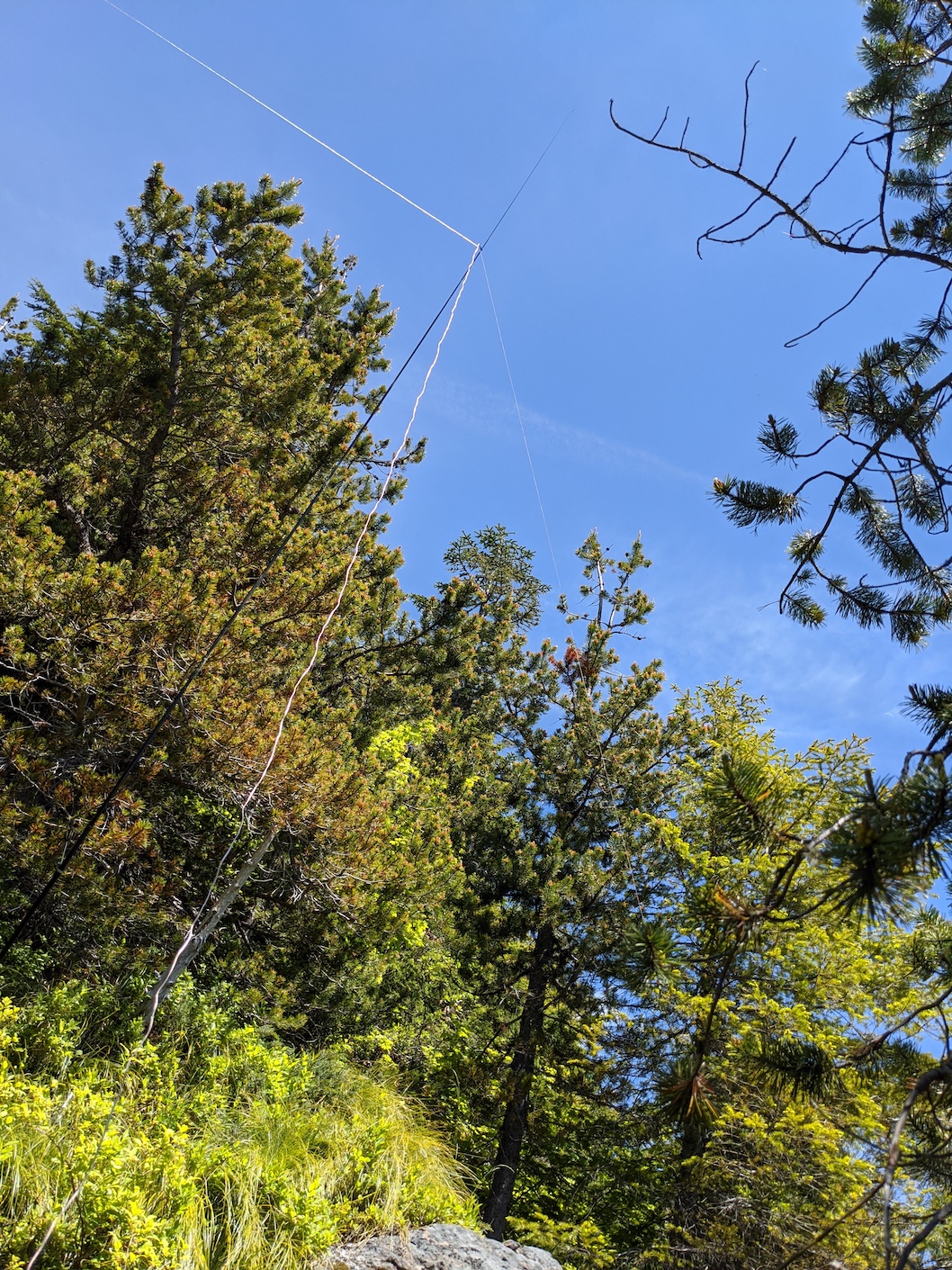
After a nice breather and some water, I got my antenna strung up between a few trees across the ridge and began transmitting. I think the proximity of the rock of the hillside directly behind my antenna was greatly affecting things, it took over 30 minutes for me to get 4 contacts on 20m FT8, and all 4 were in Southern California. I tried a few minutes after getting my 4th to reach another station I could hear who was showing a grid in Southern CA, but could not get a response. But, 4 QSOs, Lone Butte activated for the first time, and my second SOTA points earned!
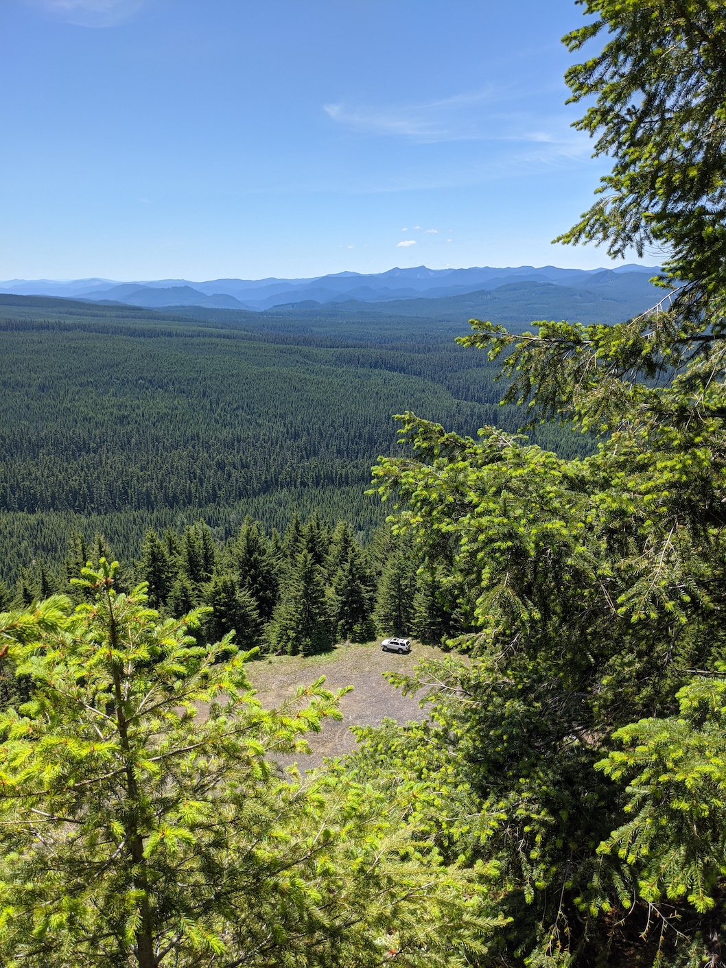
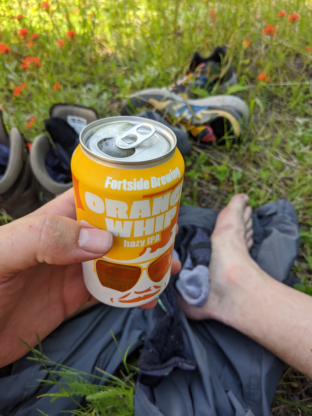
Heading back down the hill, be careful to watch your GPS. It is very easy to quickly find yourself following the hillside down to early. I found myself in this situation this time, getting myself heading down the shoulder that runs NW from the main ridge. Back at the 4runner finally, I so greatly enjoyed a beer I had waiting in my cooler for me :D