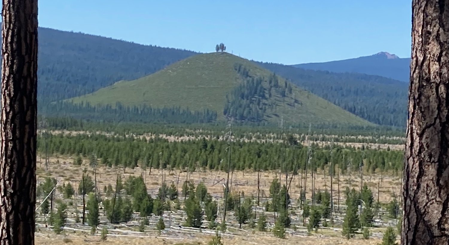
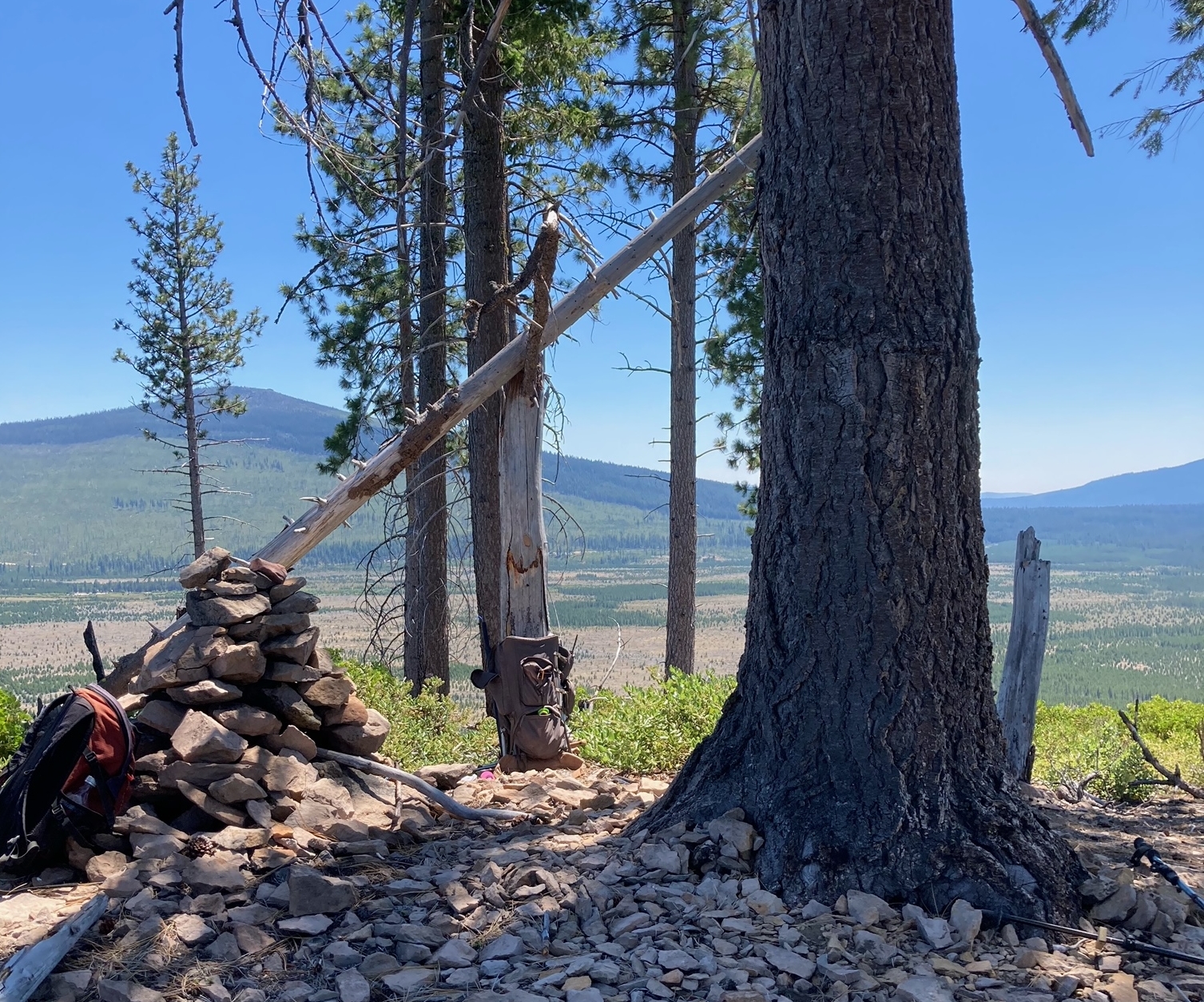
Ranger Butte looked like an activation that could be easily attained, especially since we were camped just across the lake from it at East Davis Lake Campground. Looks can be deceiving. The road which looks like the issue will be going slowly enough to not get dizzy as it spins round and round to the top, was not drivable by anything I own. Next it was not even easily walked after a while. The road started as an open affair which some ATV's had been driving and then turned slowly into a chest high thicket of Manzanita and some other shrubbery. The other disconcerting thing was the road had almost no elevation gain. So it seemed like pushing through the brush was not making much progress towards the top. Eventually we became tired of circling and headed directly for the top. This added a steep climb to the chest high brush. Drats. Eventually the hill was obtained and we were in the shade of the small gang of large trees on the summit. A convenient snag lent support for my antenna pole. On the way down we tried to cut to the chase to avoid some of the round and round. More or less worked, but was a bit dangerous as the brush was thicker and at times there were dead fall that had to be negotiated at the same time. Go if you like, but I'm not going back.
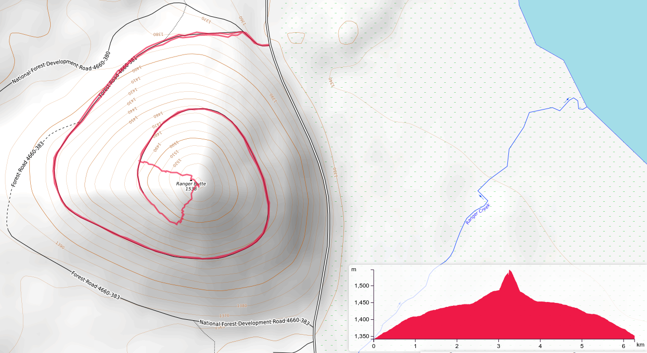
Round Trip 4 miles Elevation Gain 700ft
Here's the one data point you need.
Start of hike: 43.61017, -121.88033