Timber Butte is a practically unknown destination not far from the busy trailhead for Triangulation Peak. A short hike on a rough logging road gain you the summit and fantastic views of Mount Jefferson and many Cascade Range peaks.
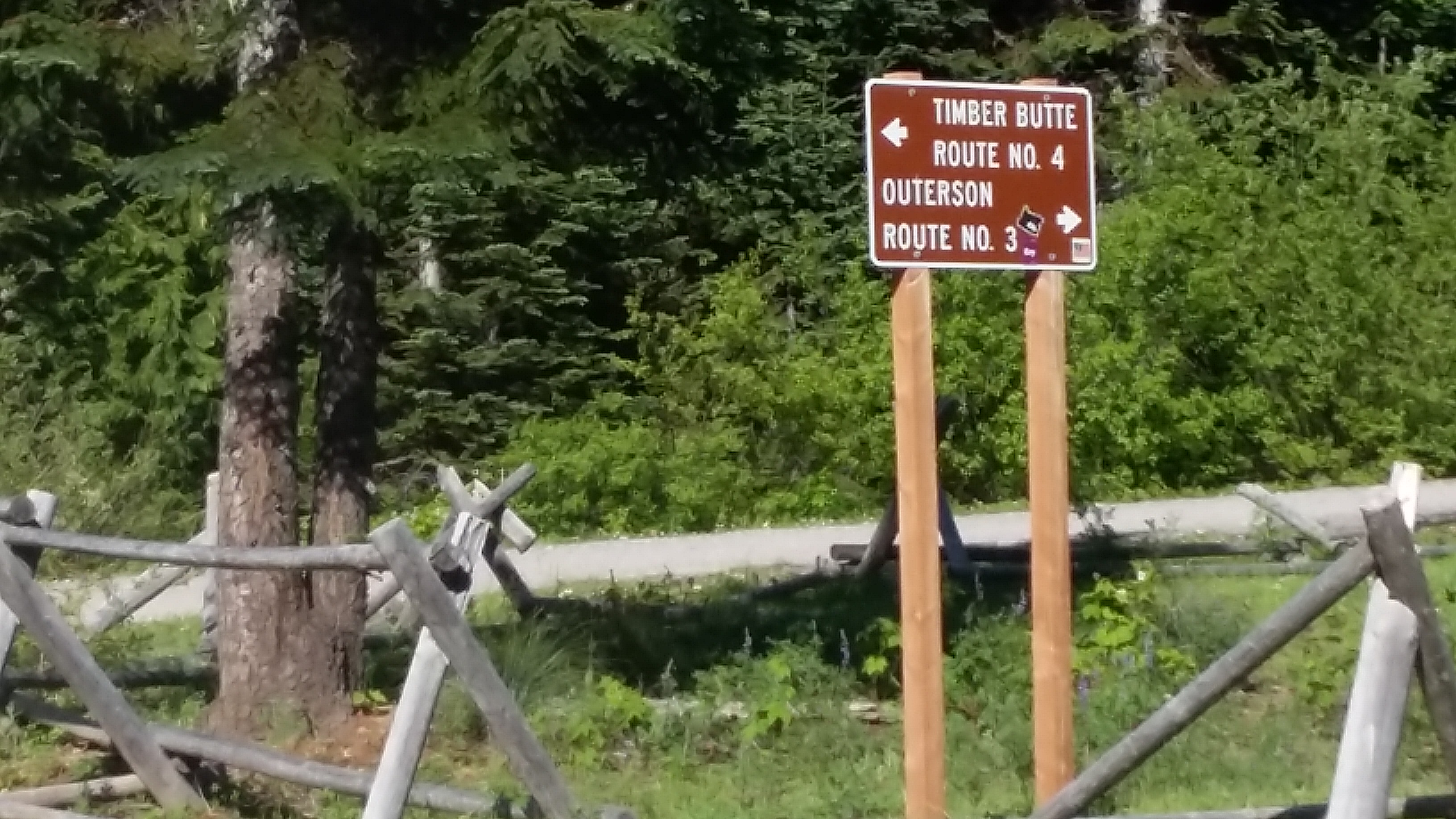
Proceed about 1.7 miles east of Idanha, Oregon (Main Street) and turn north onto FS-2233. Follow the main track of this paved road that eventually turns to a nice gravel road, suitable for any vehicle. You might consider activating Outerson Mountain and Triangulation Peak - two other nearby summits. After about 7.9 miles you'll reach a large intersection with FS-650. Turn left onto FS-810 and go about 0.1 miles to a right turn onto FS-812. The road becomes quite rough here - suitable for high clearance vehicles. If you park at this junction you'll have an easy hike on logging roads. Head up 0.6 miles and go left on FS-815 - another 0.6 miles will take you to the summit with a right turn uphill only about 0.1 miles from the peak (yes, a GPS will be helpful).
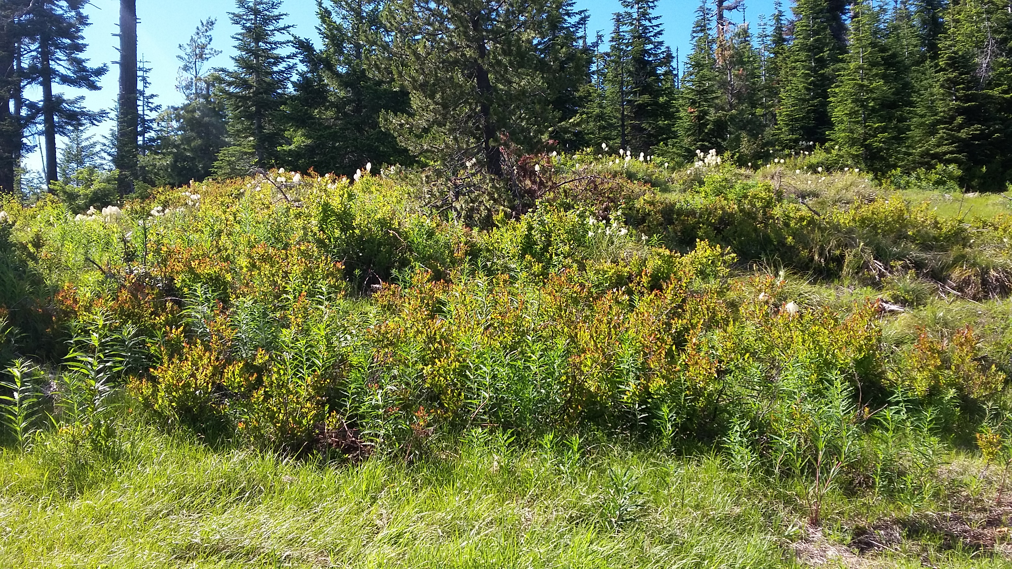
The road ends shortly before the summit proper but the AZ features clearings with plenty of room for any radio activity and trees for rigging any antenna.