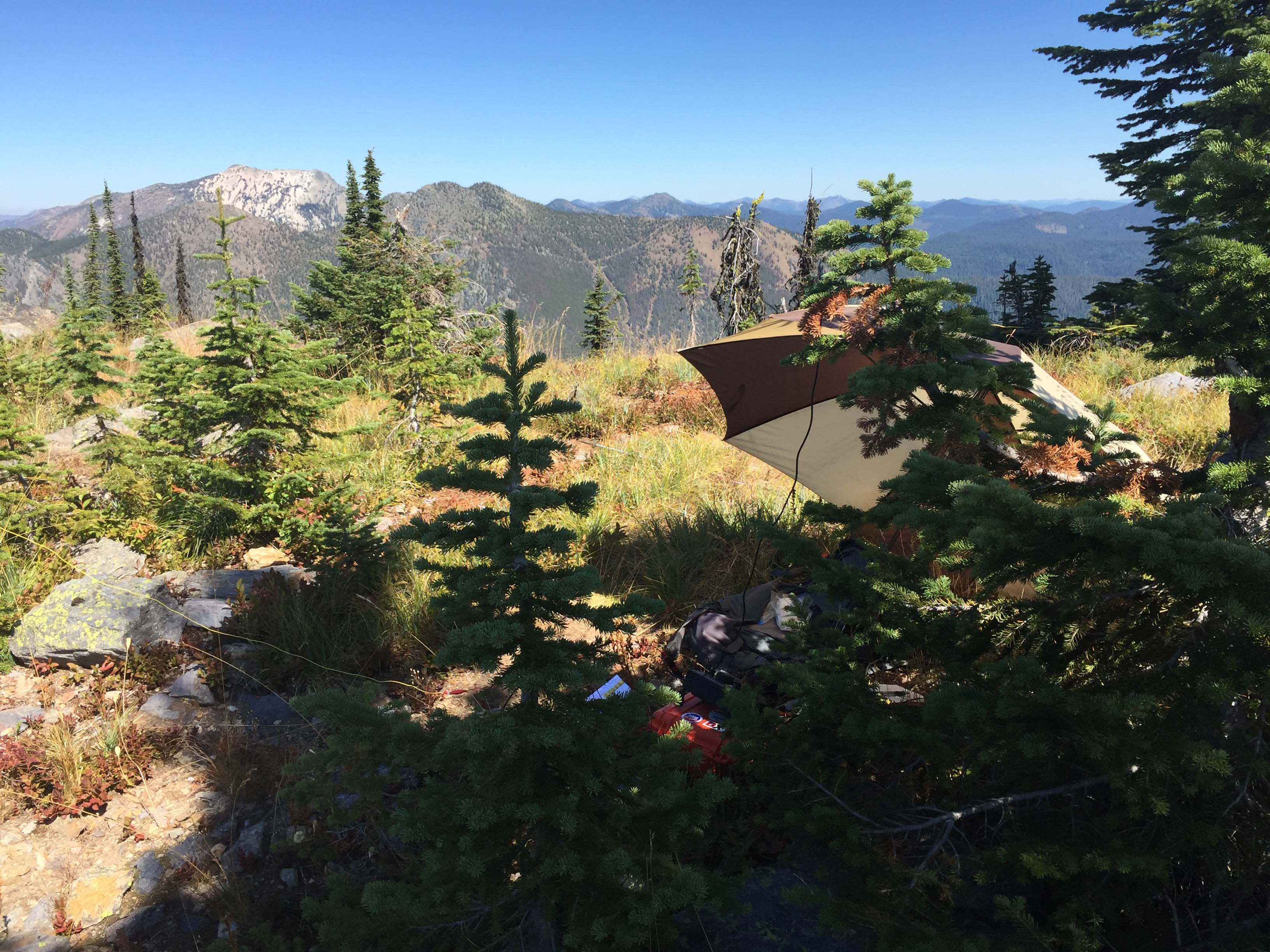
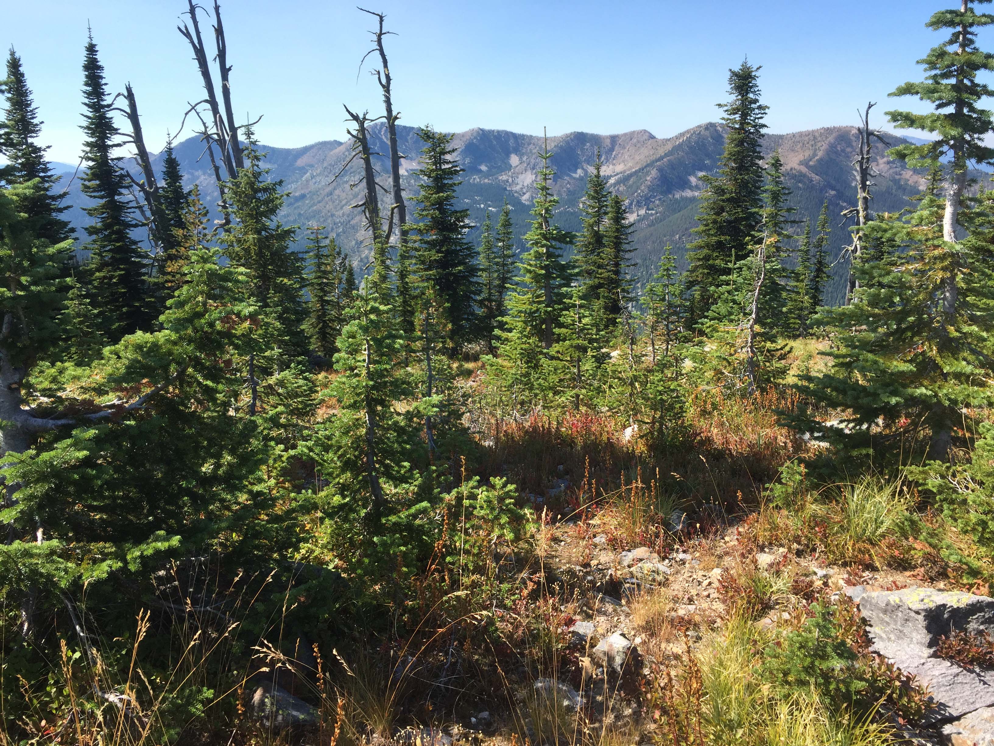
I was tipped-off by K7DJL that Salmo was nearly a drive-up summit not too far from our planned camp on Priest Lake. Turned out that it was a fun scenic drive through cedar and hemlock forest and over a couple of mountain passes. The summit looks into Canada so we decided to spend the night in the saddle between the 1960s era US Forest Service Lookout and the actual summit. Except for an occasional headlights visible on a few hundred feet of Canadian Highway #3, 4.5 miles and 1700 feet below us, the sky, horizon to horizon was brilliant stars. During the late summer the slopes can be loaded with huckleberries.
The summit is nearly a ¼ mile walk on a lightly treaded trail with an elevation gain of 100’. Trees are available on the summit for hanging antenna wires or strapping a pole.
Trail miles: 0.4 round trip.
Water: There is no water source.
Bear Pepper Spray: Highly recommended in all North Idaho/Northeast Washington summits.
Maps: US Forest Service, Colville National Forest
Directions: One can travel from Priest Lake in Idaho via USFS#302 or Sullivan Lake in Washington via USFS #22. From Priest Lake, #302 turns into #22 at Pass Creek Pass. From the Pass follow down #22 to the intersection of FS#2220. Travel up this well-maintained road nearly 13 miles to the junction of FS#270 (#2220 only goes another 1/3 mile to a turn-around). Road #270 is narrow and a bit steep. Higher clearance sedans like a Subaru can navigate it.
Travel up approximately 2 miles to the saddle near the summit.