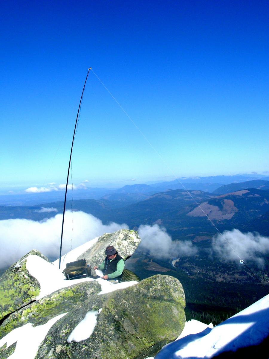
KR7W's picture

Gobblers Knob July 28, 2013

Summit: 
W7W/RS-050

Sunday, July 28, 2013 myself, Pat WT7N, her bro Mike, and Chuck AC7QN hiked to Gobblers Knob- which is located in Mt Rainier National Park, WA State.  There’s two ways to get to Gobblers Knob.  We chose the shorter route that approaches from the west via Forest Rd 59 instead of the longer Westside Road route.

KF7PXT's picture

Ch-Paa-Qn Peak Activation

Summit: 
W7M/LM-053

Here is a link to my blog from Ch-Paa-Qn Peak. This is a great summit with great views and faily easy access. Thanks to all the Chasers and Activators.

http://kf7pxt.blogspot.com/2013/08/ch-paa-qn-peak-sota-activation-4-august.html


Matt

KF7PXT

KF7PXT's picture

Blue Mountain Activation

Summit: 
W7M/LM-121

This is my Blog from my Activation of Blue Mountain W7M/LM-121 on 8/3/2012. Thanks to all the Chasers and Activators that I worked and were patient with me.

This quick activation had 12 contacts with 3 of them being Summit to Summit with WA7JTM, NS7P, and N0PCL.

Thanks again.

Blog: http://kf7pxt.blogspot.com/2013/08/blue-mountain-sota-activation.html

KF7PXT's picture

University Peak SOTA Activation

Summit: 
W7M/LM-145

I have included the link to my blog for University Mountain. The kids and I worked to avoid the rain and finally got this summit in and did not end up soaked. Thanks to all the chasers that make this hobby so enjoyable. Both of my kids are studying for their tech and may be able to start activating summits on 2m here soon!

http://kf7pxt.blogspot.com/2013/08/university-mountain-sota-activation.html


Thanks again,

Matt, Peyton, and Lily

KF7PXT

AF9W's picture

First Butte - My First Activation

Summit: 
W7W/OK-163

Finally got the round-tuit for my first activation.  First Butte had not yet been actiivated and looked pretty easy so off we went.  It isn't much of a hike.  There is a high clearance forest road that takes you to the summit.  Some internet sites report that the Bromas Creek approach is closed due to a washout on NFR 37.   The Forest Service has built a detour, NFR 3700-805 that is not on the FS map but connects to 3700-825.  

K7ATN's picture

W7 S2S Party -- Success!

The W7 region Summit-to-Summit (S2S) Party the weekend of 3-August was a great success. Folks all around the region took advantage of good weather and decent propagation to work other Activators on SOTA Summits across the west. 

Particular thanks to Phil-NS7P for suggesting the 'meet-up' schedule on 40m and 20m - that worked great for us and I'd like to see it used again for the NASOTA Weekend 7-September. And thanks also to Guy-N7UN for leading the way with the idea for a region-wide event to put W7 on the SOTA map and leverage some S2S fun.

ND7PA's picture

August 4, 2013 Activation of Scott Mountain

Summit: 
W7O/CM-048

This was a wonderful day for an activation of Scott Mountain.  The trailhead is reached by taking the turnoff for Scott Lake Campground off of OR242 a few miles west of the Dee Wright Observatory. Follow the gravel road past all the campsites to the quarry at the end of the road.  There are two trails that start from there.  Take the Benson Trail 3402 to go most directly to Scott Mountain.

NS7P's picture

W7 S2S Party

NS7P's picture

July 23, 2013 Activation by NS7P of Eagle's Rest

Summit: 
W7O/WV-078

I activated Eagle’s Rest (W7O/WV-078) on July 23, 2013.  There are several routes to get to the summit.  There is a long trip (over 13 miles round-trip) from a trail head on Highway 58.  There is shorter (perhaps 5 miles round-trip) hike from a trail head part way up on the long trail.  N7UN, NH6Z and I took that last year.  Finally, there is a short, 0.8 mile, hike up an alt change of about 430 feet.  That is the option I chose this year.