Summit:
W7W/LC-036
Follow other blog entries for accurate directions to the access road. The first gate at FS60 road is gone, at least destroyed. A second gate about a mile in was also open but might be locked later in the season.
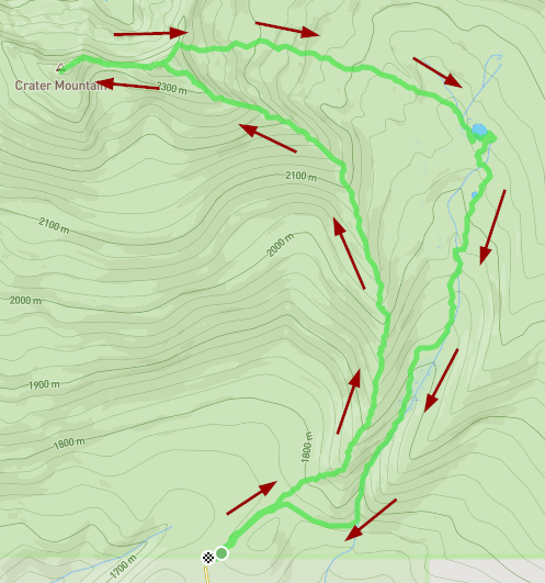
Normally, from FS60, this is a 3.3 mi/ 1600 ft elev gain hike but I was able to drive to with 1/2 mi of the summit where I hit snow drifts covering the road. I would expect these to melt out over the next 3-4 weeks or so, making the summit potentially a drive-up where parking would be available.