
Summit:
W7O/NC-042
After abortive failures earlier in the day due to lack of access I finally completed an activation on this awesome summit on a beautiful day.
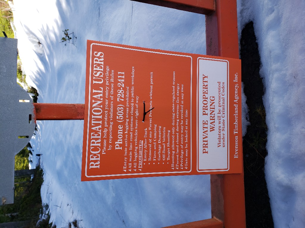
Access to the summit is via gated logging roads with recreation use permitted signs and no motor vehicles allowed.
Parking is directly off Highway 47 south of Clatskanie at position: 46.041460, -123.248066
There is ample parking for multiple vehicles as seen below:

